Angkor Ban
អង្គរបាន | |
|---|---|
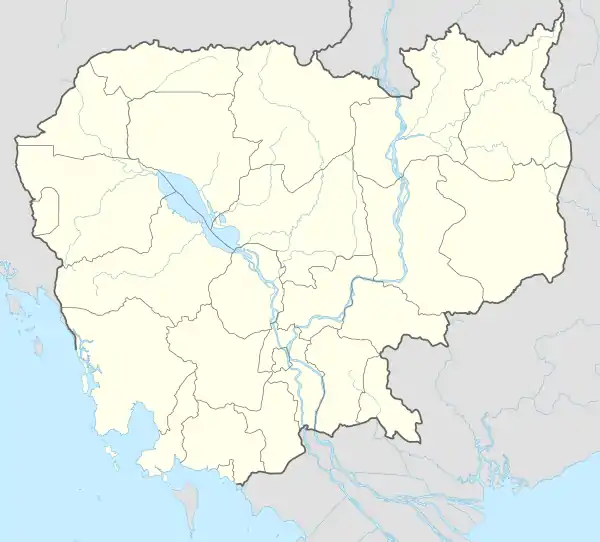 Angkor Ban Map highlighting Angkor Ban | |
| Coordinates: 13°21′51″N 102°31′18″E / 13.3642°N 102.5217°E | |
| Country | |
| Province | Province |
| District | Sampov Loun |
| Time zone | UTC+07:00 (ICT) |
| Geocode | 021002 |
Angkor Ban (Khmer: អង្គរបាន, Ângkôr Ban [ʔɑŋkɔː ɓaːn]) is a commune (khum) of Sampov Loun District in Battambang Province in northwestern Cambodia.[1]
Villages
| Name | Khmer |
|---|---|
| Andoung Pir | អន្ដូងពីរ |
| Kbal Hong | ក្បាលហុង |
| Pralay Prak | ប្រឡាយប្រាក់ |
| Tuek Phos | ទឹកផុស |
| Tuek Thla | ទឹកថ្លា |
References
- ↑ "Statistics of the Cambodian Government". Archived from the original on 2008-12-24.
Capital: Battambang | ||
| Banan District |  | |
| Thma Koul District | ||
| Battambang Municipality (city) | ||
| Bavel District |
| |
| Ek Phnom District | ||
| Moung Ruessei District | ||
| Rotanak Mondol District |
| |
| Sangkae District | ||
| Samlout District | ||
| Sampov Loun District | ||
| Phnum Proek District | ||
| Kamrieng District | ||
| Koas Krala District | ||
| Rukhak Kiri District |
| |
This article is issued from Wikipedia. The text is licensed under Creative Commons - Attribution - Sharealike. Additional terms may apply for the media files.