Annyalla
Eanaigh Gheala | |
|---|---|
Village | |
.jpg.webp) St Michaels Church | |
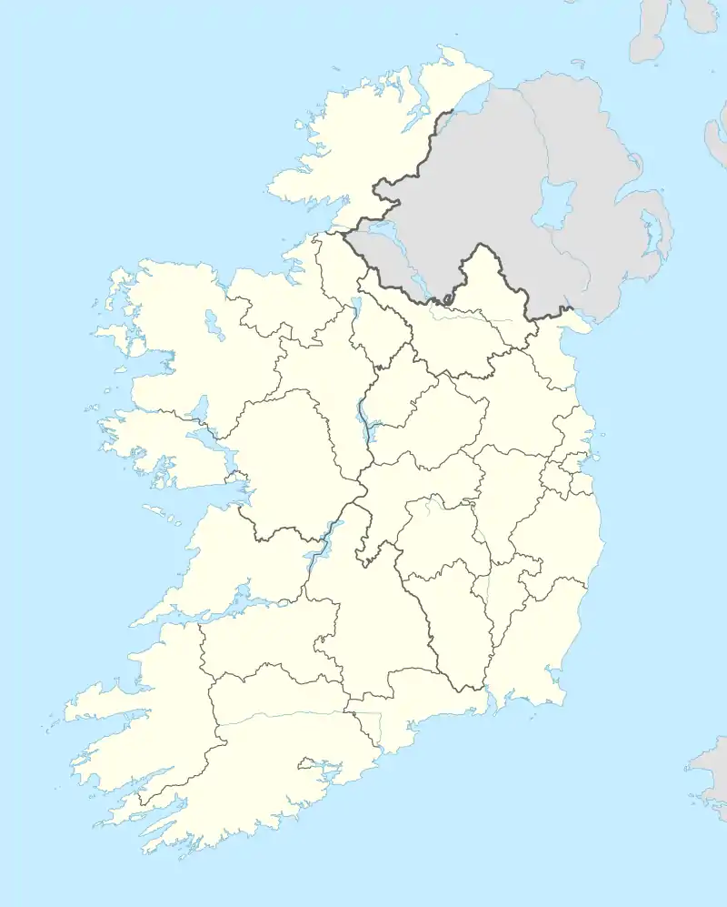 Annyalla Location in Ireland | |
| Coordinates: 54°09′40″N 6°47′28″W / 54.161°N 6.791°W | |
| Country | Ireland |
| Province | Ulster |
| County | County Monaghan |
| Population (2016)[1] | 228 |
Annyalla or Annayalla (Irish: Eanaigh Gheala, meaning 'bright marshes or pools')[2] is a small village and townland situated in the east of County Monaghan in Ireland between Castleblayney and Clontibret. Annyalla townland is part of the civil parish of Clontibret.[2]
The main feature of the village is St Michael's church, built between 1922 and 1927.[3] It was designed by the architect William A Scott and completed under the supervision of R M Butler of University College Dublin.[4][5]
The Monaghan Gaelic Athletic Association Training & Development Centre, is located nearby at Cloghan. Since November 2007 the village has been by-passed by the Castleblayney to Clontibret by-pass.
Annayalla was designated as a census town by the Central Statistics Office for the first time in the 2016 census,[6] at which time it had a population of 228 people.[1]
References
- 1 2 "Sapmap Area - Settlements - Annayalla". Census 2016. Central Statistics Office. April 2016. Retrieved 22 August 2021.
- 1 2 "Eanaigh Gheala / Annayalla". logainm.ie. Placenames Database of Ireland. Retrieved 22 August 2021.
- ↑ Carvlle, Gary, In Faith and Hope: The Story of St Michael's Church Annyalla and the parish of Clontibret (2002), pp. 32-64.
- ↑ "Saint Michael's Church, Monaghan". buildingsofireland.ie. National Inventory of Architectural Heritage. Retrieved 22 August 2021.
- ↑ "Co. Monaghan, Annyalla, Church of St Michael (RC)". Dictionary of Irish Architects. Irish Architectural Archive. Retrieved 22 August 2021.
- ↑ "Census of Population 2016 - Profile 2 Population Distribution and Movement". cso.ie. Central Statistics Office. Retrieved 26 June 2021.
26 new census towns were created for the 2016 Census [..including..] Annayalla