| Apeton | |
|---|---|
 Farmhouse at Apeton | |
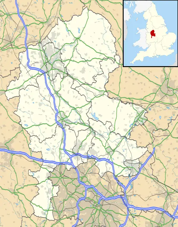
 Apeton Location within Staffordshire | |
| OS grid reference | SJ850182 |
| Civil parish | |
| District | |
| Shire county | |
| Region | |
| Country | England |
| Sovereign state | United Kingdom |
| Post town | Stafford |
| Postcode district | ST20 |
| Dialling code | 01785 |
| Police | Staffordshire |
| Fire | Staffordshire |
| Ambulance | West Midlands |
| UK Parliament | |
Apeton is a hamlet in Staffordshire in the West Midlands region of England. It is located 5+1⁄2 miles (8.9 km) southwest of Stafford,[1] in the civil parish of Church Eaton[2] and the Borough of Stafford.
Apeton is mentioned as Abetone in the 11th-century Domesday Book, when it was part of the land of Robert de Stafford.[3]
In the 1880s it was in the parish of Gnosall, until parts were transferred to Bradley and Haughton.[1][4] The boundaries were changed again in 1934, when Church Eaton parish was extended to include Apeton to the north.[5]
References
- 1 2 "Descriptive Gazetteer Entry for Apeton (John Bartholomew, Gazetteer of the British Isles (1887))". A Vision of Britain through Time. Retrieved 15 October 2023.
- ↑ "Church Eaton". Retrieved 15 October 2023.
- ↑ Apeton in the Domesday Book
- ↑ "Gnosall AP/Ch/CP". A Vision of Britain through Time. Retrieved 15 October 2023.
- ↑ "Staffordshire Places: Church Eaton". Staffordshire Past Track. Retrieved 15 October 2023.
External links
Wikimedia Commons has media related to Apeton.
This article is issued from Wikipedia. The text is licensed under Creative Commons - Attribution - Sharealike. Additional terms may apply for the media files.