Arbaouet | |
|---|---|
Commune and town | |
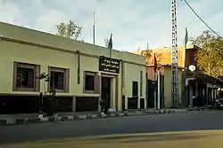 Arbaouat Town Hall | |
 Arbaouet | |
| Coordinates: 33°5′18″N 0°34′52″E / 33.08833°N 0.58111°E | |
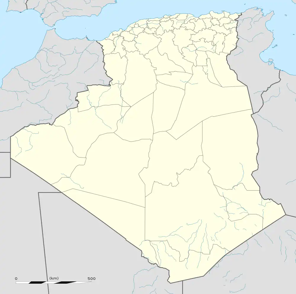
| Country | |
| Province | El Bayadh Province |
| District | El Abiodh Sidi Cheikh District |
| Population (2008[1]) | |
| • Total | 4,321 |
| Time zone | UTC+1 (CET) |
Arbaouet is a town and commune in El Bayadh Province, Algeria. It had a population of 4,321 in 2008.
Geography
Arbaouet is located near the Saharan Atlas Mountains, at an elevation of about 1000 m (3280 ft), about 75 km (45 mi) southwest of El Bayadh.
Climate
Arbaouet has a cold desert climate (Köppen climate classification BWk). The average temperature is around 17.2°C (63°F), and the annual rainfall is approximately 135 mm.[2]
History

Mausoleum of Sidi Slimane Ben Bousmaha
Arbaouet has been inhabited since at least the 17th century, as shown by the Arbaouet ksar, one of the oldest in the region, which supposedly dates back over a thousand years.[3]
According to some sources, a man named Mamaar Sidi Belalia journeyed from Tunis to propagate Sunni doctrine, and called the region Arbaouet.
References
- ↑ Figures of the 2008 census of the Algerian population, province of El Bayadh, on the site of geohive.
- ↑ "Climat Arbaouat: Pluviométrie et Température moyenne Arbaouat, diagramme ombrothermique pour Arbaouat". fr.climate-data.org. Retrieved 2023-11-19.
- ↑ Tayeb, Nouri (2014-11-01). Histoire d' el-bayadh (in French). Lulu. p. 13. ISBN 978-1-291-22367-5. Retrieved 2020-11-12.
| Chellala District | .svg.png.webp) | |
|---|---|---|
| Brézina District | ||
| Rogassa District | ||
| El Abiodh Sidi Cheikh District | ||
| Boualem District | ||
| Bougtob District | ||
| El Bayadh District | ||
| Boussemghoun District | ||
This article is issued from Wikipedia. The text is licensed under Creative Commons - Attribution - Sharealike. Additional terms may apply for the media files.