Ardnacrusha
Ard na Croise | |
|---|---|
Village | |
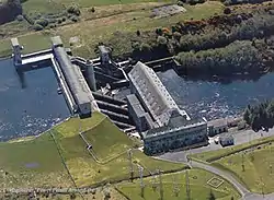 Ardnacrusha Power Plant | |
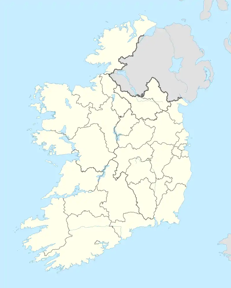 Ardnacrusha Location in Ireland | |
| Coordinates: 52°42′30″N 8°36′44″W / 52.708333°N 8.612222°W | |
| Country | Ireland |
| Province | Munster |
| County | County Clare |
| Population (2011) | |
| • Total | 1,414 |
| Time zone | UTC+0 (WET) |
| • Summer (DST) | UTC-1 (IST (WEST)) |
| Irish Grid Reference | R583618 |
Ardnacrusha (Irish: Ard na Croise) is a village in County Clare, Munster, Ireland, located on the northern bank of the River Shannon. By road, it is 6.6 kilometres (4.1 mi) north of Limerick.[1] The name derives from the phrase Ard na Croise meaning "the height of the cross", due to a large cross marker placed there in 1111 to mark the boundary of the Diocese of Limerick.[2]
In 1841, the village consisted of 17 houses and a population of 136.[3] In 2002, the population was 926.[4]
Ardnacrusha is located near the site of the Ardnacrusha power plant, constructed in the 1920s.[2] By 1935, it was producing 80 per cent of Ireland's electricity.[5]
See also
References
- ↑ Google (9 February 2014). "Ardnacrusha" (Map). Google Maps. Google. Retrieved 9 February 2014.
- 1 2 "Ardnacrusha: Historical Background". Clare County Library. Retrieved 5 November 2011.
- ↑ "Ard Na Crusha". Parliamentary Gazetteer of Ireland. Clare County Library. 1845. Retrieved 5 November 2011.
- ↑ "Ardnacrusha". Clare County Library. Retrieved 9 February 2014.
- ↑ Cox, Ronald C. (1998). Ireland. Thomas Telford. p. 272. ISBN 978-0-7277-2627-8. Retrieved 9 March 2023.
External links
![]() Media related to Ardnacrusha at Wikimedia Commons
Media related to Ardnacrusha at Wikimedia Commons
Places in County Clare | ||
|---|---|---|
| Towns |  | |
| Villages |
| |
| Regions | ||
| Islands | ||
| ||
This article is issued from Wikipedia. The text is licensed under Creative Commons - Attribution - Sharealike. Additional terms may apply for the media files.