Arman
Армань | |
|---|---|
Settlement | |
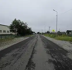
 Mayakovskogo street with the school on the leftside. | |
 Arman  Arman | |
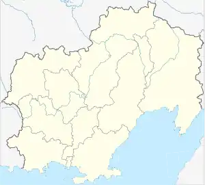
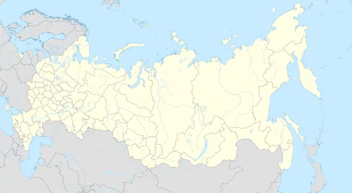
| Coordinates: 59°40′15″N 150°7′45″E / 59.67083°N 150.12917°E | |
| Country | Russia |
| Region | Magadan Oblast |
| District | Olsky District |
| Time zone | UTC+11:00 |
Arman (Russian: Армань) is an rural locality (a settlement) in Olsky District of Magadan Oblast, Russia. Population: 1,071 (2010 Census);[1] 1,521 (2002 Census);[2] 2,643 (1989 Census).[3]
Geography

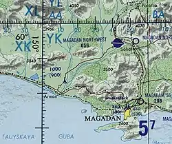
Arman is located near the Taui Bay, west of the mouth of the Arman.[4][5]
History
An Evenian settlement in the place of today's place was mentioned in Russian documents of the late 17th century. The name of the place and river is of Even origin and means, among other things, "spring".
During the Soviet period, a fishing, hunting and agricultural cooperative was established there, which was converted into one of the most important collective farms in the region in 1932.[6] In 1965, Arman received urban-type settlement status, but has been a rural locality again since 2013.[7]
References
- ↑ Russian Federal State Statistics Service (2011). Всероссийская перепись населения 2010 года. Том 1 [2010 All-Russian Population Census, vol. 1]. Всероссийская перепись населения 2010 года [2010 All-Russia Population Census] (in Russian). Federal State Statistics Service.
- ↑ Russian Federal State Statistics Service (21 May 2004). Численность населения России, субъектов Российской Федерации в составе федеральных округов, районов, городских поселений, сельских населённых пунктов – районных центров и сельских населённых пунктов с населением 3 тысячи и более человек [Population of Russia, Its Federal Districts, Federal Subjects, Districts, Urban Localities, Rural Localities—Administrative Centers, and Rural Localities with Population of Over 3,000] (XLS). Всероссийская перепись населения 2002 года [All-Russia Population Census of 2002] (in Russian).
- ↑ Всесоюзная перепись населения 1989 г. Численность наличного населения союзных и автономных республик, автономных областей и округов, краёв, областей, районов, городских поселений и сёл-райцентров [All Union Population Census of 1989: Present Population of Union and Autonomous Republics, Autonomous Oblasts and Okrugs, Krais, Oblasts, Districts, Urban Settlements, and Villages Serving as District Administrative Centers]. Всесоюзная перепись населения 1989 года [All-Union Population Census of 1989] (in Russian). Институт демографии Национального исследовательского университета: Высшая школа экономики [Institute of Demography at the National Research University: Higher School of Economics]. 1989 – via Demoscope Weekly.
- ↑ Google Earth
- ↑ "Топографска карта O-56; M 1:1 000 000 - Topographic USSR Chart (in Russian)". Retrieved 8 January 2022.
- ↑ Arman auf der Website kolyma.ru (russisch)
- ↑ Anordnung Nr. 147 der Verwaltung der Oblast Magadan vom 28. Februar 2013 (russisch)