39°46′00″N 44°48′30″E / 39.76667°N 44.80833°E
Armash
Արմաշ | |
|---|---|
 Armash 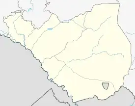 Armash | |
| Coordinates: 39°46′00″N 44°48′30″E / 39.76667°N 44.80833°E | |
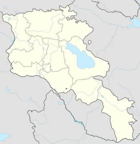
| Country | Armenia |
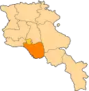
| Province | Ararat |
| Municipality | Ararat |
| Population (2008) | |
| • Total | 2,644 |
| Time zone | UTC+4 |
| • Summer (DST) | UTC+5 |
Armash (Armenian: Արմաշ) is a village in the Ararat Municipality of the Ararat Province of Armenia. Armash has a population of 2,644, most of whom are farmers. The main crops produced are watermelons and tomatoes. The Armash Important Bird Area is nearby.
References
- National Geospatial-Intelligence Agency at GEOnet Names Server
- "Armenia: largest cities and towns and statistics of their population". World Gazetteer. Retrieved 29 January 2013.
- Report of the results of the 2001 Armenian Census
This article is issued from Wikipedia. The text is licensed under Creative Commons - Attribution - Sharealike. Additional terms may apply for the media files.