| Aroser Weisshorn | |
|---|---|
 | |
| Highest point | |
| Elevation | 2,653 m (8,704 ft) |
| Prominence | 286 m (938 ft)[1] |
| Parent peak | Aroser Rothorn |
| Isolation | 3.6 km (2.2 mi) |
| Coordinates | 46°47′22.5″N 09°38′17.6″E / 46.789583°N 9.638222°E |
| Geography | |
 Aroser Weisshorn Location in Switzerland | |
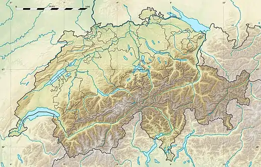
| Location | Graubünden, Switzerland |
| Parent range | Plessur Alps |
| Climbing | |
| Easiest route | Aerial tramway from Arosa |
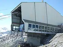
The top station of the cable car, near the summit
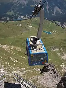
Arosa seen from the top station
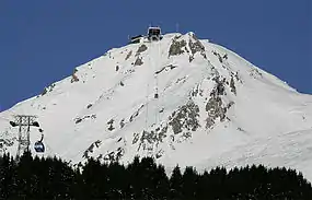
The Aroser Weisshorn is a mountain of the Plessur Alps, overlooking Arosa in the canton of Graubünden.
A two-stage cable car links the top of the mountain with the town and resort of Arosa — the base station is near to Arosa railway station.
See also
References
External links
Wikimedia Commons has media related to Weisshorn (Arosa).
This article is issued from Wikipedia. The text is licensed under Creative Commons - Attribution - Sharealike. Additional terms may apply for the media files.