| Arros | |
|---|---|
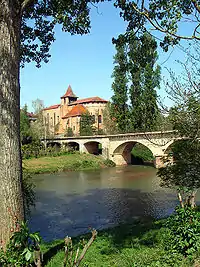 The Arros in Saint-Sever-de-Rustan | |
  | |
| Location | |
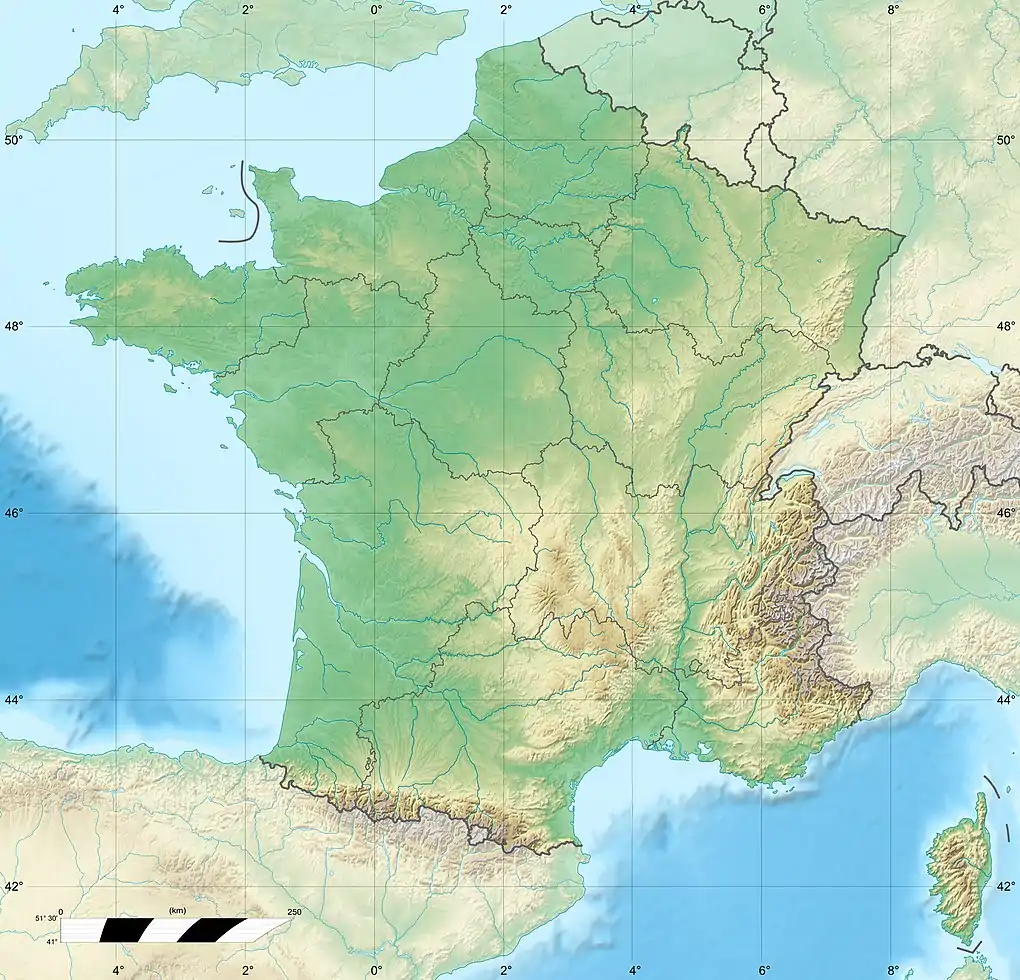
| Country | France |
| Physical characteristics | |
| Source | |
| • location | Baronnies of Pyrenees |
| Mouth | |
• location | Adour |
• coordinates | 43°39′44″N 0°1′41″W / 43.66222°N 0.02806°W |
| Length | 130 km (81 mi) |
| Basin size | 947 km2 (366 sq mi) |
| Discharge | |
| • average | 9 m3/s (320 cu ft/s) |
| Basin features | |
| Progression | Adour→ Atlantic Ocean |
The Arros (French pronunciation: [aʁɔs]; Occitan: Arròs) is a right tributary of the Adour, in the Southwest of France. It is 130.2 km (80.9 mi) long.[1]
Name
The name Arros is based on the root Arr- 'stone' and the suffix -os.
Geography
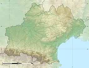
The Arros rises in the Baronnies of Pyrenees, southeast of Bagnères-de-Bigorre, below the Signal de Bassia (1 921 m).
It flows north through a narrow valley defended by the castle of Mauvezin and the bastide of Tournay. It joins the Adour before it turn west, upstream from Riscle.
Départements and towns
Main tributaries
References
This article is issued from Wikipedia. The text is licensed under Creative Commons - Attribution - Sharealike. Additional terms may apply for the media files.