Ashira | |
|---|---|
Village | |
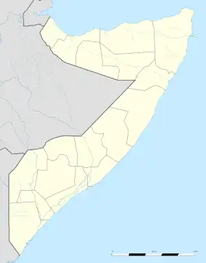 Ashira Location in Somalia. | |
| Coordinates: 8°57′20″N 50°21′17″E / 8.95556°N 50.35472°E[1] | |
| Country | |
| Regional State | |
| Region | Bari |
| District | Bayla |
| Population | |
| • Total | n/a |
| Time zone | UTC+3 (EAT) |
Ashira (Somali: Aashiira), is a small village along the Guardafui Channel in the northeastern Bari region of Somalia. It lies within the Bayla District. It lies just south of the Hafun promontory.
References
- ↑ Ashira can be found at GEOnet Names Server, at this link, by opening the Advanced Search box, entering "-3215511" in the "Unique Feature Id" form, and clicking on "Search Database".
This article is issued from Wikipedia. The text is licensed under Creative Commons - Attribution - Sharealike. Additional terms may apply for the media files.