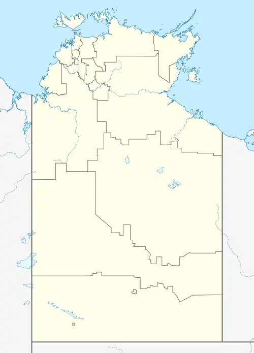
| Atitjere Northern Territory | |||||||||||||||
|---|---|---|---|---|---|---|---|---|---|---|---|---|---|---|---|
 Atitjere | |||||||||||||||
| Coordinates | 22°58′56″S 134°55′58″E / 22.9821°S 134.9328°E[1] | ||||||||||||||
| Population | 224 (2016)[2] | ||||||||||||||
| • Density | 32.0/km2 (83/sq mi) | ||||||||||||||
| Postcode(s) | 0872[3] | ||||||||||||||
| Elevation | 661 m (2,169 ft)(weather station) [4] | ||||||||||||||
| Area | 7 km2 (2.7 sq mi)[5] | ||||||||||||||
| Time zone | ACST (UTC+9:30) | ||||||||||||||
| Location | 1,247 km (775 mi) S of Darwin[3] | ||||||||||||||
| LGA(s) | Central Desert Region[1] | ||||||||||||||
| Territory electorate(s) | Namatjira[6] | ||||||||||||||
| Federal division(s) | Lingiari[7] | ||||||||||||||
| |||||||||||||||
| |||||||||||||||
| Footnotes | Adjoining localities[8][9] | ||||||||||||||
Atitjere is a community in Akityarre Ward of the Central Desert Region in the Northern Territory of Australia.
The 2016 Australian census which was conducted in August 2016 reports that Atitjere had a population of 224 of which 173 (77.9%) identified as “Aboriginal and/or Torres Strait Islander people.”[2]
Hart is located within the federal division of Lingiari, the territory electoral division of Namatjira and the local government area of the Central Desert Region.[7][6][1]
References
- 1 2 3 "Place Names Register Extract for Atitjere". NT Place Names Register. Northern Territory Government. Retrieved 19 March 2020.
- 1 2 Australian Bureau of Statistics (27 June 2017). "Atitjere (NT)". 2016 Census QuickStats. Retrieved 23 September 2017.
- 1 2 "Atitjere Postcode". postcode-finders.com.au. Retrieved 19 March 2020.
- 1 2 3 4 "Monthly climate statistics: Summary statistics ARLTUNGA (nearest weather station that has current data)". Commonwealth of Australia , Bureau of Meteorology. Retrieved 19 March 2020.
- ↑ "Hart". Australia’s Guide Pty Ltd. Retrieved 19 March 2020.
- 1 2 "Division of Namatjira". Northern Territory Electoral Commission. Archived from the original on 20 March 2020. Retrieved 19 March 2020.
- 1 2 "Federal electoral division of Lingiari". Australian Electoral Commission. Retrieved 19 March 2020.
- ↑ "Atitjere". NT Atlas and Spatial Data Directory. Northern Territory Government. Retrieved 19 March 2020.
- ↑ "Localities within Petermann-Simpson sub-region (CP 5080)". NT Place Names Register. Northern Territory Government. Retrieved 19 March 2020.
This article is issued from Wikipedia. The text is licensed under Creative Commons - Attribution - Sharealike. Additional terms may apply for the media files.