| Atna Peak | |
|---|---|
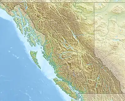 Atna Peak Location in British Columbia | |
| Highest point | |
| Elevation | 2,724 m (8,937 ft)[1] |
| Prominence | 1,794 m (5,886 ft)[1] |
| Listing | Mountains of British Columbia |
| Coordinates | 53°56′23.0″N 128°02′44.0″W / 53.939722°N 128.045556°W[1] |
| Geography | |
| Location | Inland British Columbia |
| District | Range 4 Coast Land District |
| Parent range | Howson Range |
| Topo map | NTS 103H16 Kildala Arm |
Atna Peak is a mountain in British Columbia, Canada, located 57 km (35 mi) northwest of Howson Peak and 18 km (11 mi) southeast of Morice Lake.[1]
References
- 1 2 3 4 "Mount Addenbroke". Bivouac.com. Retrieved 2020-05-12.
External links
This article is issued from Wikipedia. The text is licensed under Creative Commons - Attribution - Sharealike. Additional terms may apply for the media files.