National grid reference NS27609150
| Auchengaich Reservoir | |
|---|---|
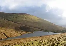 | |
 Auchengaich Reservoir | |
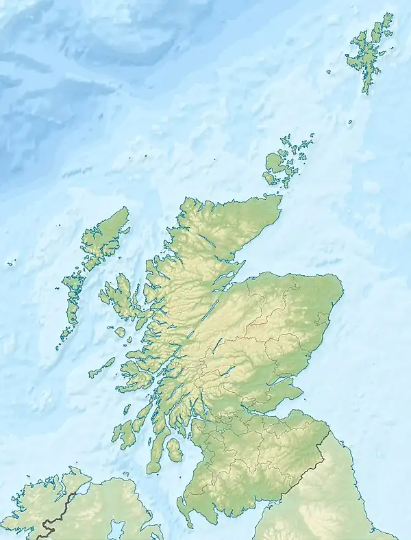
| Location | Glen Fruin, Scotland |
| Coordinates | 56°05′10″N 4°46′14″W / 56.0860°N 4.7705°W |
| Type | Reservoir |
| Primary outflows | Auchengaich Burn |
| Basin countries | Scotland, United Kingdom |
| Surface area | 34,000 m2 (370,000 sq ft) |
| Surface elevation | 244 m (801 ft) |
Auchengaich Reservoir was created in 1942 through the construction of an earthfill dam built by the military to supply water to Helensburgh and the Gareloch during World War II.[1]
See also
Sources
This article is issued from Wikipedia. The text is licensed under Creative Commons - Attribution - Sharealike. Additional terms may apply for the media files.