Austin Airport | |||||||||||
|---|---|---|---|---|---|---|---|---|---|---|---|
| Summary | |||||||||||
| Airport type | Public | ||||||||||
| Owner | U.S. Bureau of Land Management | ||||||||||
| Serves | Austin, Nevada | ||||||||||
| Elevation AMSL | 5,735 ft / 1,748 m | ||||||||||
| Coordinates | 39°28′05″N 117°11′51″W / 39.46806°N 117.19750°W | ||||||||||
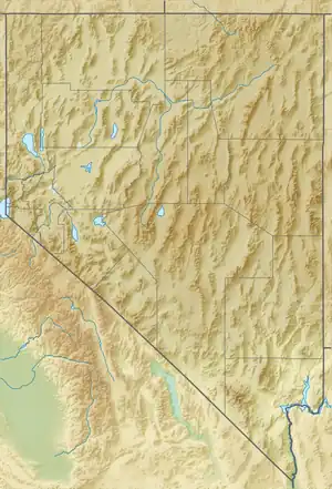
| Map | |||||||||||
 TMT  TMT | |||||||||||
| Runways | |||||||||||
| |||||||||||
| Statistics (2020) | |||||||||||
| |||||||||||
Austin Airport (IATA: ASQ[2], ICAO: KTMT, FAA LID: TMT, formerly 9U3[3]) is a public use airport owned by the U.S. Bureau of Land Management five miles southwest of Austin, in Lander County, Nevada.[1]
Many U.S. airports use the same three-letter location identifier for the FAA and IATA, but this airport is TMT to the FAA[1] and ASQ to the IATA[2][4] (which assigned TMT to Porto Trombetas Airport in Pará, Brazil).[5]
Facilities
Austin Airport covers 1,205 acres (488 ha) at an elevation of 5,735 feet (1,748 m). Its single runway, 18/36, is 5,999 by 75 feet (1,829 x 23 m).[1]
In the year ending June 24, 2020, the airport had 3,720 aircraft operations, average 71 per month: 84% general aviation, 10% air taxi, and 7% military. Four aircraft were then based at this airport, all single-engine.[1]
See also
References
- 1 2 3 4 5 FAA Airport Form 5010 for TMT PDF. Federal Aviation Administration. Effective September 7, 2023.
- 1 2 "IATA Airport Code Search (ASQ: Austin)". International Air Transport Association. Retrieved June 13, 2014.
- ↑ "Austin Airport (9U3)". FAA data republished by AirNav. February 11, 2010. Archived from the original on March 28, 2010.
- ↑ "Austin, Nevada, United States (IATA: ASQ, ICAO: KTMT, FAA: TMT)". Great Circle Mapper. Retrieved April 14, 2010.
- ↑ "Porto Trombetas, Pará, Brazil (IATA: TMT, ICAO: SBTB)". Great Circle Mapper. Retrieved April 14, 2010.
External links
- "Diagram of Austin Airport (9U3)" (PDF). from Nevada DOT
- Aerial photo as of September 1999 from USGS The National Map
- Resources for this airport:
- FAA airport information for TMT
- AirNav airport information for KTMT
- ASN accident history for ASQ
- FlightAware airport information and live flight tracker
- SkyVector aeronautical chart for KTMT