Aveiras de Cima | |
|---|---|
 Coat of arms | |
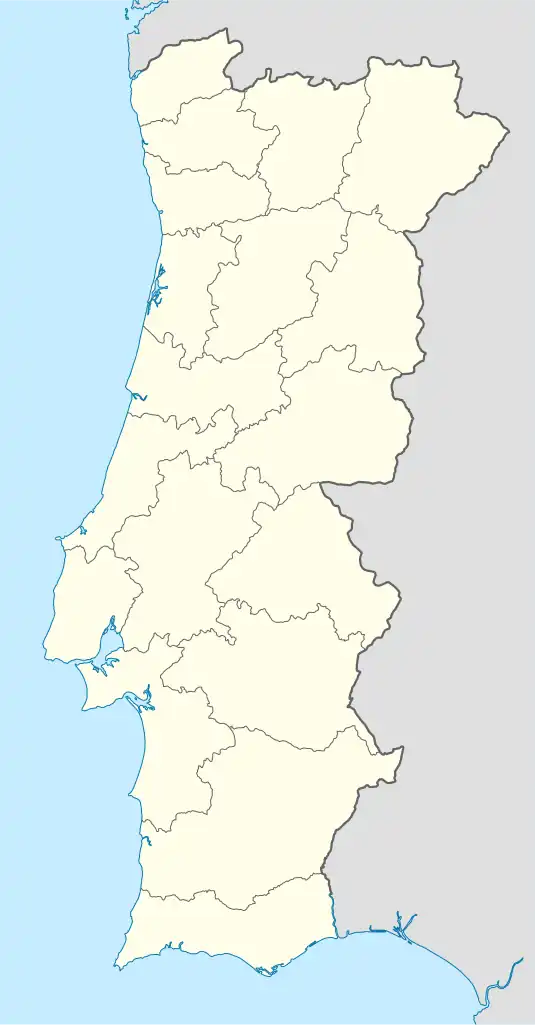 Aveiras de Cima Location in Portugal | |
| Coordinates: 39°08′17″N 8°54′00″W / 39.138°N 8.900°W | |
| Country | |
| Region | Alentejo |
| Intermunic. comm. | Lezíria do Tejo |
| District | Lisbon |
| Municipality | Azambuja |
| Area | |
| • Total | 26.16 km2 (10.10 sq mi) |
| Population (2011) | |
| • Total | 4,762 |
| • Density | 180/km2 (470/sq mi) |
| Time zone | UTC±00:00 (WET) |
| • Summer (DST) | UTC+01:00 (WEST) |
Aveiras de Cima (Portuguese pronunciation: [aˈvɐjɾɐʒ ðɨ ˈsimɐ]) is a little Portuguese town by the A1 highway. It is situated in the Lisbon District and in the Azambuja Municipality. The population in 2011 was 4,762,[1] in an area of 26.16 km².[2]
References
- ↑ Instituto Nacional de Estatística
- ↑ "Áreas das freguesias, concelhos, distritos e país". Archived from the original on 2018-11-05. Retrieved 2018-11-05.
This article is issued from Wikipedia. The text is licensed under Creative Commons - Attribution - Sharealike. Additional terms may apply for the media files.