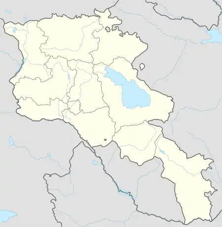
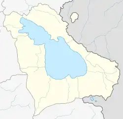
Azat
Ազատ | |
|---|---|
 Azat  Azat | |
| Coordinates: 40°10′40″N 45°52′18″E / 40.17778°N 45.87167°E | |
| Country | Armenia |
| Province | Gegharkunik |
| Municipality | Vardenis |
| Elevation | 2,054 m (6,739 ft) |
| Population | |
| • Total | 101 |
| Time zone | UTC+4 (AMT) |
| Azat, Armenia at GEOnet Names Server | |
Azat (Armenian: Ազատ; Azerbaijani: Ağkilsə, lit. 'White church') is a village in the Vardenis Municipality of the Gegharkunik Province of Armenia. The village was populated by Azerbaijanis before the exodus of Azerbaijanis from Armenia after the outbreak of the Nagorno-Karabakh conflict. In 1988-1989 Armenian refugees from Azerbaijan settled in the village.[2]
History
Located in the village is a heavily ruined Armenian 11th century church and a pair of medieval khachkars.[3]
The village was the birthplace of Azerbaijani ashik Ashig Alasgar (1821–1926).[4]
Demographics
In 1911, Azat, then known as Agkilisa (Russian: Агкилиса), had a predominantly Tatar (later known as Azerbaijani) population of 180 within the Nor Bayazet uezd of the Erivan Governorate of the Russian Empire.[5]
References
- ↑ Statistical Committee of Armenia. "The results of the 2011 Population Census of Armenia" (PDF).
- ↑ "ԱԶԱՏ". gegharkunik.am. Archived from the original on 2020-09-21. Retrieved 2021-02-15.
- ↑ Kiesling, Brady; Kojian, Raffi (2005). Rediscovering Armenia: Guide (2nd ed.). Yerevan: Matit Graphic Design Studio. pp. 82–83. ISBN 99941-0-121-8.
- ↑ "Ашуг Алескер". Great Soviet Encyclopedia (in Russian).
- ↑ Кавказский календарь на 1912 год [Caucasian calendar for 1912] (in Russian) (67th ed.). Tiflis: Tipografiya kantselyarii Ye.I.V. na Kavkaze, kazenny dom. 1912. Archived from the original on 11 December 2021.
External links
- Report of the results of the 2001 Armenian Census, Statistical Committee of Armenia
- Kiesling, Brady (June 2000). Rediscovering Armenia: An Archaeological/Touristic Gazetteer and Map Set for the Historical Monuments of Armenia (PDF). Archived (PDF) from the original on 6 November 2021.
