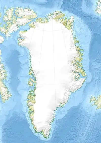
| Azimuthbjerg | |
|---|---|
| Miialeqaaq | |
 Azimuthbjerg | |
| Highest point | |
| Elevation | 1,738 m (5,702 ft)[1] |
| Prominence | 1,738 m (5,702 ft) |
| Listing | |
| Coordinates | 63°27′21″N 41°50′58″W / 63.45583°N 41.84944°W[1] |
| Geography | |
| Location | Sermersooq, Greenland |
Azimuthbjerg (Greenlandic: Miialeqaaq)[2] is the highest mountain in Skjoldungen Island, SE Greenland.[3]
Geography
This multi-peaked mountain rises steeply from the shore of the northern end of the Southern Skjoldungen Fjord (Greenlandic: Iittuarmiit), at the NW corner of Skjoldungen Island[4] in the Sermersooq municipality. It is a 1,738-metre-high (5,702 ft) ultra-prominent peak. This mountain is marked as a 5,266-foot-high (1,605 m) peak in the Defense Mapping Agency Greenland Navigation charts.[5]
See also
References
- 1 2 Google Earth
- ↑ Nunat Aqqi; Stednavne
- ↑ "Azimuthbjerg". Mapcarta. Retrieved 16 April 2016.
- ↑ Prostar Sailing Directions 2005 Greenland and Iceland Enroute, p. 101
- ↑ 1:1,000,000 scale Operational Navigation Chart, Sheet D-16
External links
- Skjoldungensund, SE Greenland (View of the Azimuthbjerg on the left of the picture)
This article is issued from Wikipedia. The text is licensed under Creative Commons - Attribution - Sharealike. Additional terms may apply for the media files.