Bánhorváti | |
|---|---|
Village | |
 | |
 Flag  Coat of arms | |
 Bánhorváti Location of Bánhorváti | |
| Coordinates: 48°13′31″N 20°30′16″E / 48.22525°N 20.50441°E | |
| Country | Hungary |
| Region | Northern Hungary |
| County | Borsod-Abaúj-Zemplén |
| District | Kazincbarcika |
| Area | |
| • Total | 28.47 km2 (10.99 sq mi) |
| Population (1 January 2023)[1] | |
| • Total | 1,263 |
| • Density | 44/km2 (110/sq mi) |
| Time zone | UTC+1 (CET) |
| • Summer (DST) | UTC+2 (CEST) |
| Postal code | 3642 |
| Area code | (+36) 48 |
| Website | www |
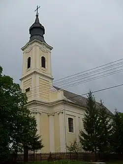
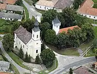
Bánhorváti is a village in Borsod-Abaúj-Zemplén county, Hungary. It appeared after Bánfalva and Bánhorvát merged in 1950.

In the 19th and 20th centuries, a small Jewish community lived in the village, in 1910 56 Jews lived in the village,[2] most of whom were murdered in the Holocaust.[3] The community had a Jewish cemetery.[4]
References
- ↑ Error: Unable to display the reference properly. See the documentation for details.
- ↑ Hungarian Jewish census
- ↑ Documentation of the village's Jews murdered in the Holocaust
- ↑ Banhorvati Jewish cemetery
External links
- Official webpage of Bánhorváti
- Street map Archived 1 October 2007 at the Wayback Machine (in Hungarian)


This article is issued from Wikipedia. The text is licensed under Creative Commons - Attribution - Sharealike. Additional terms may apply for the media files.