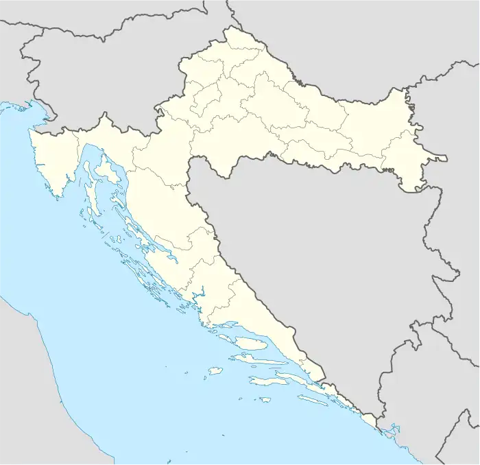
Baćin Dol | |
|---|---|
Village | |
 Baćin Dol | |
| Coordinates: 45°18′22″N 17°25′52″E / 45.30611°N 17.43111°E | |
| Country | |
| County | |
| Area | |
| • Total | 10.1 km2 (3.9 sq mi) |
| Population (2021)[2] | |
| • Total | 302 |
| • Density | 30/km2 (77/sq mi) |
| Time zone | UTC+1 (CET) |
| • Summer (DST) | UTC+2 (CEST) |
History
The medieval fortress of Gračanica is located on the tree-covered, 319 meter-high hill above the village.[3] The fortress was constructed between the 13th and 14th centuries.[3] In the 16th century it was conquered by the Ottoman forces. Traces of two other fortresses, lacking historical data on their usage, are also visible in the hills around the village.[3]
In 1849 the local Roman Catholic chapel was erected while its bell was completed in 1902.[3] In 1998 it was reconstructed and some of the stones used were taken from the site of the medieval fortress of Gračanica.[3]
References
- ↑ Register of spatial units of the State Geodetic Administration of the Republic of Croatia. Wikidata Q119585703.
- ↑ "Population by Age and Sex, by Settlements, 2021 Census". Census of Population, Households and Dwellings in 2021. Zagreb: Croatian Bureau of Statistics. 2022.
- 1 2 3 4 5 Škiljan, Filip (2010). Kulturno – historijski spomenici zapadne Slavonije s pregledom povijesti zapadne Slavonije od prapovijesti do 20. stoljeća [Cultural and historical monuments of western Slavonia with an overview of the history of western Slavonia from prehistory to the 20th century] (in Serbian). Zagreb, Croatia: Serb National Council. ISBN 978-953-7442-07-1.
This article is issued from Wikipedia. The text is licensed under Creative Commons - Attribution - Sharealike. Additional terms may apply for the media files.