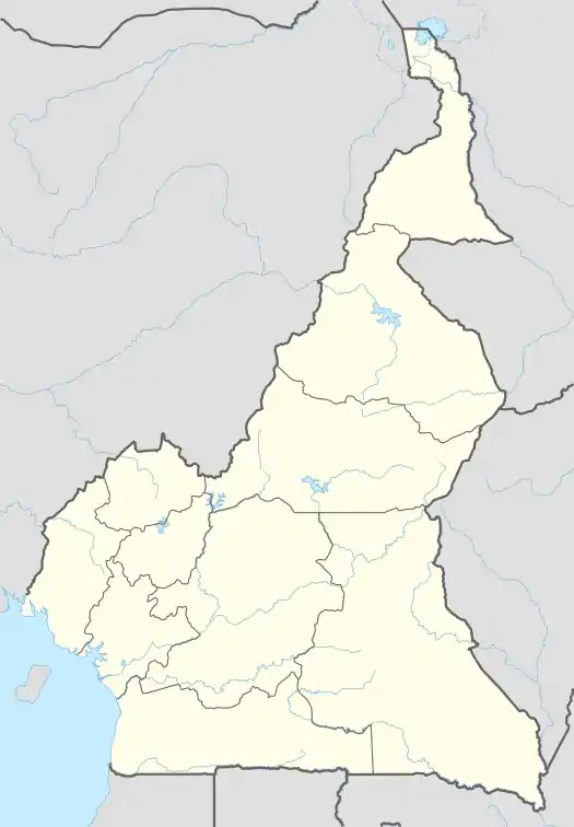
Babessi | |
|---|---|
 Babessi Location in Cameroon | |
| Coordinates: 6°02′00″N 10°34′45″E / 6.03333°N 10.57917°E | |
| Country | Cameroon |
| Region | Northwest |
| Department | Ngo-Ketunjia |
| Population (2005)[1] | |
| • Total | 26,802 |
| (Census) | |
| Time zone | UTC+1 (WAT) |
Babessi is one of the four villages that make up the Babessi Sub-Division, and the Babessi Sub-Division is one of three sub-divisions of Ngoketunjia Division of the North West Region of Cameroon with a population of 26,802.
Habitat and wildlife
The vegetation is savannah type with short stunted trees, palm trees, raffia palms, eucalyptus, kola and Pygeum africanum. They are of economic value to the inhabitants who used them for construction, fuel, food and as medicine. Some of these medicinal plants are even exported.[2]
See also
2012 floods
In 2012, floods rendered some over 26 families homeless.[3]
References
- ↑ "3rd RGPH 2005" (PDF). Ceped.org. Archived from the original (PDF) on 2017-12-16. Retrieved 2016-11-11.
- ↑ UNITED COUNCILS AND CITIES OF CAMEROON, UNITED COUNCILS AND CITIES OF CAMEROON. "Babessi". UNITED COUNCILS AND CITIES OF CAMEROON. Retrieved 2016-11-11.
- ↑ Loh, Choves (14 September 2012). "Floods Render 26 Families Homeless in Babessi". Allafrica.com. Retrieved 5 November 2016.
External links
Wikivoyage has a travel guide for Ngoketunjia.
- "Babessi". Cvuc.cm. Retrieved 2016-11-11.
- Mbah Isofa (2015-09-04). "No Development Without Peace And No Peace Without Unity, Go Back To School And Be Successful In Life. Hon. Njingum Musa In Babessi". Ngoketunjiaonline.wordpress.com. Retrieved 2016-11-11.
This article is issued from Wikipedia. The text is licensed under Creative Commons - Attribution - Sharealike. Additional terms may apply for the media files.