Bacita Airport | |||||||||||
|---|---|---|---|---|---|---|---|---|---|---|---|
| Summary | |||||||||||
| Airport type | Public | ||||||||||
| Serves | Bacita | ||||||||||
| Elevation AMSL | 492 ft / 150 m | ||||||||||
| Coordinates | 9°02′30″N 4°55′10″E / 9.04167°N 4.91944°E | ||||||||||
| Map | |||||||||||
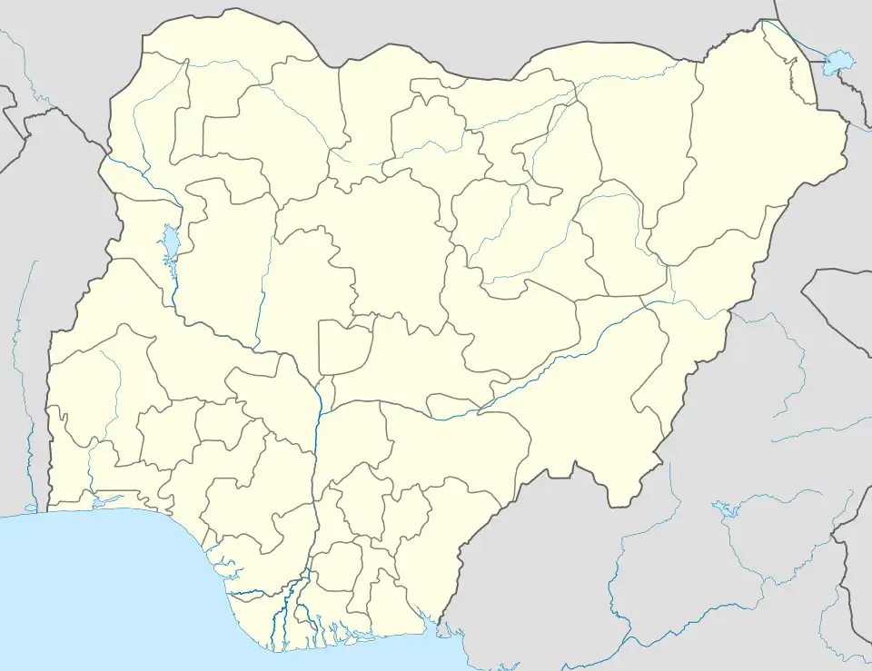 Bacita Location of the airport in Nigeria | |||||||||||
| Runways | |||||||||||
| |||||||||||
Source: Google Maps[1] | |||||||||||
Bacita Airport is an airstrip serving Bacita in the Kwara State of Nigeria. It is 5 kilometres (3 mi) southwest of the town.
See also
References
External links
This article is issued from Wikipedia. The text is licensed under Creative Commons - Attribution - Sharealike. Additional terms may apply for the media files.