Bakalia
Volongkom aji | |
|---|---|
town | |
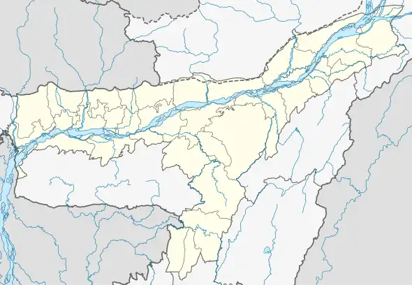
 Bakalia Location in Assam, India  Bakalia Bakalia (India) | |
| Coordinates: 26°5′0″N 93°12′0″E / 26.08333°N 93.20000°E | |
| Country | |
| State | Assam |
| District | East Karbi Anglong |
| Government | |
| • Type | Democracy |
| • Body | Bakalia Town Committee |
| Elevation | 84 m (276 ft) |
| Languages Karbi,Assamese | |
| • Official | Karbi, English, Dimasa |
| Time zone | UTC+5:30 (IST) |
| Vehicle registration | AS-09- |
Bakalia is a town in East Karbi Anglong district, Assam, India.
Geography
It is located at an elevation of 84 m above MSL.[1]
Location
Bakalia is connected by National Highway 36 to Nagaon and Dimapur. Nearest airport is Dimapur Airport. Guwahati is 200 km from here. The district headquarters is located at Diphu, 55 km away. Couple of buses ply from [Guwahati] to Diphu every day. Bakalia is situated on the NH 36 in the midway between Doboka and Dimapur.
Educational institutions
- J.S. Academy Junior College
- Bisheswar Public English School
- Eragaon English High School
- Bakalia English High School
- All Saint English High School and Residential
- Rukasen College
- Bakaliaghat higher secondary school
- Hills Academy
- Daffodil English High School
- Adarsha High School
- Sunpura Anchalik High School
- Umola ghar(play school)
- Janata Hindi High School.
- Indradhanu kola niketon.
Service Center
- PRASAD AUTOMOBILE SERVICE CENTER
References
External links
This article is issued from Wikipedia. The text is licensed under Creative Commons - Attribution - Sharealike. Additional terms may apply for the media files.