Ballancourt-sur-Essonne | |
|---|---|
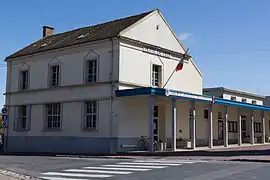
 The town hall of Ballancourt-sur-Essonne | |
.svg.png.webp) Coat of arms | |
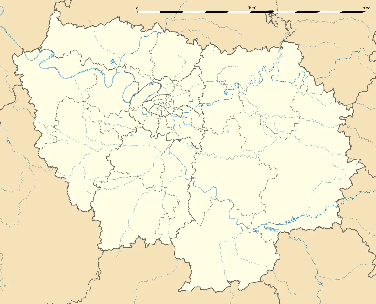
Location of Ballancourt-sur-Essonne | |
 Ballancourt-sur-Essonne  Ballancourt-sur-Essonne | |
| Coordinates: 48°31′29″N 2°23′03″E / 48.5247°N 2.3843°E | |
| Country | France |
| Region | Île-de-France |
| Department | Essonne |
| Arrondissement | Évry |
| Canton | Mennecy |
| Intercommunality | Val d'Essonne |
| Government | |
| • Mayor (2020–2026) | Jacques Mione[1] |
| Area 1 | 11.30 km2 (4.36 sq mi) |
| Population | 7,757 |
| • Density | 690/km2 (1,800/sq mi) |
| Time zone | UTC+01:00 (CET) |
| • Summer (DST) | UTC+02:00 (CEST) |
| INSEE/Postal code | 91045 /91610 |
| Elevation | 47–142 m (154–466 ft) |
| 1 French Land Register data, which excludes lakes, ponds, glaciers > 1 km2 (0.386 sq mi or 247 acres) and river estuaries. | |
Ballancourt-sur-Essonne (French pronunciation: [balɑ̃kuʁ syʁ ɛsɔn] ⓘ, literally Ballancourt on Essonne) is a commune in the Essonne department in Île-de-France in northern France.
Geography
The Essonne forms the commune western border. Ballancourt-sur-Essonne is 37 kilometers south east of Paris-Notre-Dame, point zero from road of France, 13 kilometers south west of Évry, 5 kilometers north east of La Ferté-Alais, 12 kilometers south west of Corbeil-Essonnes, 12 kilometers south east of Arpajon, 15 kilometers south east of Montlhéry, 15 kilometers north west of Milly-la-Forêt, 20 kilometers north east of Étampes, 23 kilometers south east of Palaiseau, 27 kilometers east of Dourdan.
Population
Inhabitants of Ballancourt-sur-Essonne are known as Ballancourtois in French.
| Year | Pop. | ±% p.a. |
|---|---|---|
| 1968 | 3,477 | — |
| 1975 | 5,025 | +5.40% |
| 1982 | 5,549 | +1.43% |
| 1990 | 6,174 | +1.34% |
| 1999 | 6,273 | +0.18% |
| 2007 | 7,206 | +1.75% |
| 2012 | 7,454 | +0.68% |
| 2017 | 7,597 | +0.38% |
| Source: INSEE[3] | ||
Architectural heritage
- The 17th century Château du Saussay and its park were awarded historical monument on January 19, 1951.
- Father of the music rocks(Roches du père la Musique)
- Chapel Saint-Blaise
- Saint-Martin's church
- Maison et parc sauvage de Madame Chaumerdiac situés au 12, rue Pasteur
See also
References
- ↑ "Répertoire national des élus: les maires". data.gouv.fr, Plateforme ouverte des données publiques françaises (in French). 2 December 2020.
- ↑ "Populations légales 2021". The National Institute of Statistics and Economic Studies. 28 December 2023.
- ↑ Population en historique depuis 1968, INSEE
External links
- Official website (in French)
- Base Mérimée: Search for heritage in the commune, Ministère français de la Culture. (in French)
- Mayors of Essonne Association (in French)