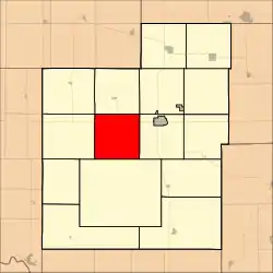
Banner Township | |
|---|---|
 Location in Jackson County | |
| Coordinates: 39°26′00″N 95°50′56″W / 39.43333°N 95.84889°W | |
| Country | United States |
| State | Kansas |
| County | Jackson |
| Area | |
| • Total | 36.02 sq mi (93.28 km2) |
| • Land | 35.76 sq mi (92.62 km2) |
| • Water | 0.25 sq mi (0.65 km2) 0.7% |
| Elevation | 1,296 ft (395 m) |
| Population (2000) | |
| • Total | 300 |
| • Density | 8.4/sq mi (3.2/km2) |
| GNIS feature ID | 0478185 |
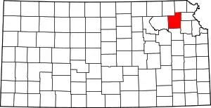
Banner Township is a township in Jackson County, Kansas, USA. As of the 2000 census, its population was 300. The southernmost part of the township is located within the Prairie Band Potawatomi Indian Reservation.
Geography
Banner Township covers an area of 36.02 square miles (93.28 square kilometers); of this, 0.25 square miles (0.65 square kilometers) or 0.7 percent is water.
Adjacent townships
- Jefferson Township (north)
- Liberty Township (northeast)
- Franklin Township (east)
- Lincoln Township (south)
- Grant Township (west)
- Soldier Township (northwest)
Cemeteries
The township contains one cemetery, Hass.
Major highways
References
External links
This article is issued from Wikipedia. The text is licensed under Creative Commons - Attribution - Sharealike. Additional terms may apply for the media files.
