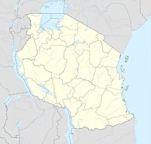
Baraa | |
|---|---|
| Kata ya Baraa | |
 Baraa | |
| Coordinates: 3°22′49.8″S 36°44′17.6″E / 3.380500°S 36.738222°E | |
| Country | |
| Region | Arusha Region |
| District | Arusha District |
| Area | |
| • Total | 4.504 km2 (1.739 sq mi) |
| Elevation | 1,402 m (4,600 ft) |
| Population (2012) | |
| • Total | 12,498 |
| • Density | 2,775/km2 (7,190/sq mi) |
Baraa, is an administrative ward in the Arusha District of the Arusha Region of Tanzania. The ward had a population of 12,498 as of 2012.[1]
References
- ↑ "Census 2012" (PDF). Archived (PDF) from the original on 2017-07-13. Retrieved 17 October 2021.
This article is issued from Wikipedia. The text is licensed under Creative Commons - Attribution - Sharealike. Additional terms may apply for the media files.