Baracoa Regional Airport Aeropuerto Baracoa de Magangue | |||||||||||
|---|---|---|---|---|---|---|---|---|---|---|---|
| Summary | |||||||||||
| Airport type | Regional | ||||||||||
| Operator | LANZA | ||||||||||
| Location | Magangué | ||||||||||
| Elevation AMSL | 178 ft / 54 m | ||||||||||
| Coordinates | 9°17′05″N 74°50′45″W / 9.28472°N 74.84583°W | ||||||||||
| Map | |||||||||||
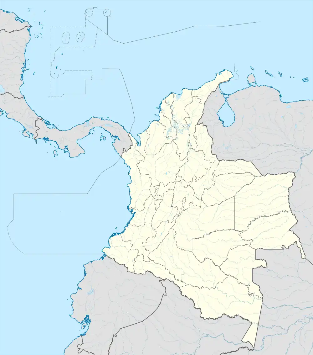 MGN Location of the airport in Colombia | |||||||||||
| Runways | |||||||||||
| |||||||||||
The Baracoa Regional Airport (IATA: MGN, ICAO: SKMG) is an airport serving the city of Magangué in the Bolívar Department of Colombia.
The Baracoa Regional Airport used to be a hub for airline operations such as Avianca, LANZA and Satena. However, on January 4, 1969, the airport ceased its commercial passenger flight operations and closed its flight schools, following a decision to focus on traffic from smaller aircraft.
The Magangue VOR-DME (Ident: MGN) is located on the field.[4]
See also
References
- ↑ "Airport information for SKMG". World Aero Data. Archived from the original on 2019-03-05.
{{cite web}}: CS1 maint: unfit URL (link) Data current as of October 2006. - ↑ Airport information for SKMG at Great Circle Mapper.
- ↑ Google Maps - Baracoa
- ↑ Magangue VOR
External links
This article is issued from Wikipedia. The text is licensed under Creative Commons - Attribution - Sharealike. Additional terms may apply for the media files.