| Barrancas Blancas | |
|---|---|
 Barrancas Blancas seen from the northeast | |
| Highest point | |
| Elevation | 6,119 m (20,075 ft)[1][2] |
| Prominence | 1,059 m (3,474 ft)[3] |
| Parent peak | Ojos del Salado |
| Listing | |
| Coordinates | 26°59′27″S 68°39′59″W / 26.99070°S 68.66635°W[2] |
| Geography | |
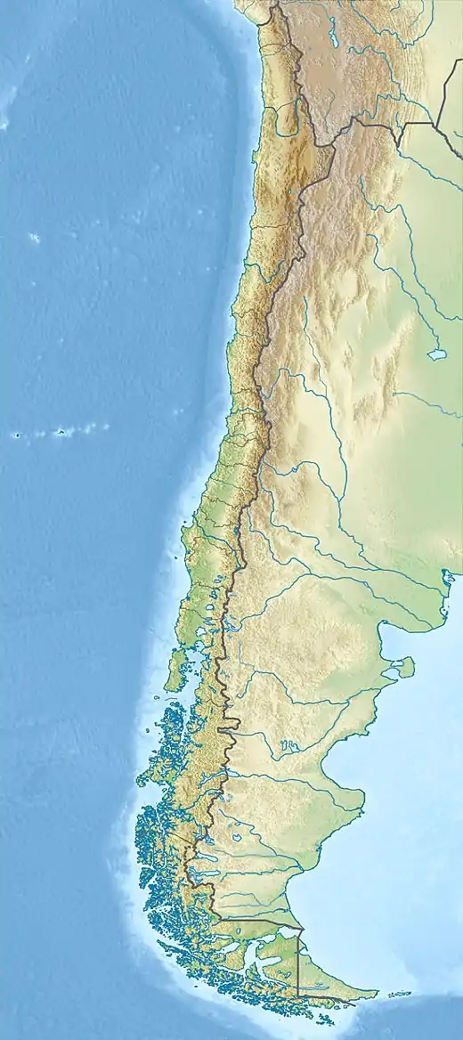
 Barrancas Blancas Location in Chile | |
| Country | Chile |
| Region | Atacama |
| Province | Copiapó |
| City | Copiapó |
| Parent range | |
| Climbing | |
| First ascent | 15 Feb 1969 by Gaston Muga, Julián Bilbao, Arnaldo González (Chile)[4] |
| Easiest route | North Ridge |
Barrancas Blancas is a peak in Chile[5] with an elevation of 6,119 metres (20,075 ft) metres.[2][6] Barrancas Blancas is within the following mountain ranges: Chilean Andes and Puna de Atacama. It is located within the territory of the Chilean province of Copiapo. Its slopes are within the administrative boundaries of the Chilean commune of Copiapo.[6]
First Ascent
Barrancas Blancas was first climbed by Gaston Muga, Julián Bilbao and Arnaldo González (Chile) 15 February 1969.[4]
Elevation
Other data from available digital elevation models: SRTM yields 6095 metres,[7] ASTER 6077 metres[8] and TanDEM-X 6146 metres.[9] The height of the nearest key col is 5,060 m (16,600 ft), leading to a topographic prominence of 1,059 m (3,474 ft).[3] Barrancas Blancas is considered a Mountain Massif according to the Dominance System [10] and its dominance is 17.31%. Its parent peak is Ojos del Salado and the Topographic isolation is 18.1 km (11.2 mi).[3]
References
- ↑ "Barrancas Blancas". andes.org.uk. Retrieved 2020-06-22.
- 1 2 3 "Topographic map of Barrancas Blancas". opentopomap.org. Retrieved 2023-07-01.
- 1 2 3 "Barrancas Blancas". Andes Specialists. Retrieved 2020-04-12.
- 1 2 "Chile Andinista". Chile Andinista: 110 Nevado Pissis.
- ↑ Biggar, John (2020). The Andes a guide for climbers (5th ed.). Castle Douglas, Scotland. ISBN 978-0-9536087-7-5. OCLC 1260820889.
{{cite book}}: CS1 maint: location missing publisher (link) - ↑ USGS, EROS Archive. "USGS EROS Archive - Digital Elevation - SRTM Coverage Maps". Retrieved 12 April 2020.
- ↑ "ASTER GDEM Project". ssl.jspacesystems.or.jp. Retrieved 2020-04-14.
- ↑ TanDEM-X, TerraSAR-X. "Copernicus Space Component Data Access". Archived from the original on 12 April 2020. Retrieved 12 April 2020.
- ↑ "Dominance - Page 2". www.8000ers.com. Retrieved 2020-04-12.
External links