| Barrclashcame | |
|---|---|
| Barr Chlais Céim | |
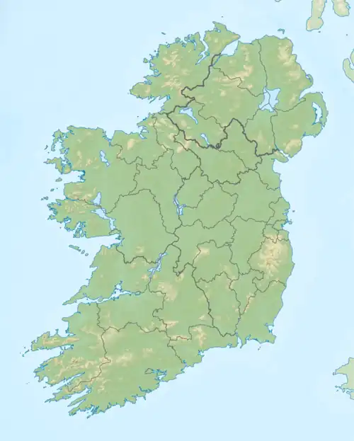
 Barrclashcame (back left) from the Bundorragha River to the south | |
| Highest point | |
| Elevation | 772 m (2,533 ft)[1][2] |
| Prominence | 707 m (2,320 ft)[1] |
| Listing | P600, Hewitt, Marilyn |
| Coordinates | 53°39′46″N 9°44′31″W / 53.662731°N 9.741944°W |
| Naming | |
| English translation | top of Clais Céim |
| Language of name | Irish |
| Geography | |
 Barrclashcame Location in Ireland | |
| Location | County Mayo, Republic of Ireland |
| Parent range | Sheeffry Hills |
| OSI/OSNI grid | L849695 |
Barrclashcame (from Irish Barr Chlais Céim, meaning 'top of Clais Céim')[1] is a mountain with a height of 772 metres (2,533 ft) in the Sheeffry Hills of County Mayo, Ireland.
Geography
.jpg.webp)
Barrclashcame summit cairn
The mountain is the highest peak of the Sheeffry Hills and stands in the townland of Clashcame, from which it is named.[1]
A short distance to the northwest is the peak called Barrclashcame Northwest or Storikeennageer (580 m)[3] and to the northeast is the peak of Tievummera (762 m).[4]
Barrclashcame overlooks Doo Lough to the southwest and Glenummera to the south, which separate it from the Mweelrea and Ben Gorm mountains.
See also
References
- 1 2 3 4 "Barrclashcame". MountainViews.ie. Retrieved 28 January 2012.
- ↑ "Clashcame". Peakbagger.com. Retrieved 28 January 2012.
- ↑ MountainViews.ie - Barrclashcame Northwest
- ↑ MountainViews.ie - Tievummera
| British Isles |  | |
|---|---|---|
| Scotland | ||
| Outside Scotland | ||
| England | ||
| Ireland | ||
| County tops | ||
| Northern Highlands (20) |    | |
|---|---|---|
| Western Highlands (20) | ||
| Central and Eastern Highlands (13) | ||
| Southern Highlands (15) | ||
| Islands (13) | ||
| Scottish Lowlands, England and Wales (13) | ||
| Republic of Ireland, Northern Ireland (25) | ||
Mountains and hills of Connacht | |||||||
|---|---|---|---|---|---|---|---|
| Achill Island | 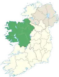 | ||||||
| Dartry Mountains | |||||||
| Maumturks | |||||||
| Mweelrea Mountains | |||||||
| Nephin Range | |||||||
| Ox Mountains | |||||||
| Partry Mountains | |||||||
| Sheeffry Range | |||||||
| Benna Beola |
| ||||||
| Others | |||||||
This article is issued from Wikipedia. The text is licensed under Creative Commons - Attribution - Sharealike. Additional terms may apply for the media files.