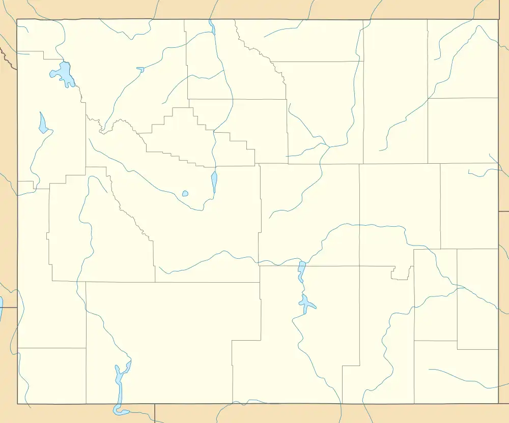
Battle, Wyoming | |
|---|---|
 Battle Location within the state of Wyoming  Battle Battle (the United States) | |
| Coordinates: 41°9′21″N 106°58′56″W / 41.15583°N 106.98222°W | |
| Country | United States |
| State | Wyoming |
| County | Carbon |
| Elevation | 9,924 ft (3,025 m) |
| Time zone | UTC-7 (Mountain (MST)) |
| • Summer (DST) | UTC-6 (MST) |
| GNIS feature ID | 1597963[2] |
Battle was an unincorporated community and coal town located in Carbon County, Wyoming, United States. The Battle community and Old Battle mining site are located around the summit of Battle Pass, at an elevation of 9,924 ft (3,025 m).[1]
Climate
There is a SNOTEL weather station for Old Battle situated at an altitude of 10,000 ft (3,048 m). Old Battle has a subalpine climate (Köppen Dfc).
| Climate data for Old Battle, Wyoming, 1991–2020 normals, 1986-2020 extremes: 10000ft (3048m) | |||||||||||||
|---|---|---|---|---|---|---|---|---|---|---|---|---|---|
| Month | Jan | Feb | Mar | Apr | May | Jun | Jul | Aug | Sep | Oct | Nov | Dec | Year |
| Record high °F (°C) | 45 (7) |
45 (7) |
56 (13) |
64 (18) |
73 (23) |
79 (26) |
83 (28) |
80 (27) |
76 (24) |
66 (19) |
66 (19) |
43 (6) |
83 (28) |
| Mean maximum °F (°C) | 33.5 (0.8) |
36.8 (2.7) |
47.8 (8.8) |
57.4 (14.1) |
64.2 (17.9) |
71.7 (22.1) |
76.6 (24.8) |
74.4 (23.6) |
69.3 (20.7) |
57.8 (14.3) |
44.1 (6.7) |
33.9 (1.1) |
77.2 (25.1) |
| Mean daily maximum °F (°C) | 21.3 (−5.9) |
23.7 (−4.6) |
32.7 (0.4) |
40.8 (4.9) |
50.3 (10.2) |
60.8 (16.0) |
68.2 (20.1) |
66.1 (18.9) |
56.6 (13.7) |
42.0 (5.6) |
28.8 (−1.8) |
20.7 (−6.3) |
42.7 (5.9) |
| Daily mean °F (°C) | 15.9 (−8.9) |
17.3 (−8.2) |
24.5 (−4.2) |
31.1 (−0.5) |
40.2 (4.6) |
50.0 (10.0) |
57.5 (14.2) |
56.1 (13.4) |
47.5 (8.6) |
34.8 (1.6) |
23.1 (−4.9) |
15.5 (−9.2) |
34.5 (1.4) |
| Mean daily minimum °F (°C) | 10.5 (−11.9) |
10.8 (−11.8) |
16.3 (−8.7) |
21.4 (−5.9) |
30.2 (−1.0) |
39.2 (4.0) |
46.8 (8.2) |
46.0 (7.8) |
38.4 (3.6) |
27.6 (−2.4) |
17.4 (−8.1) |
10.3 (−12.1) |
26.2 (−3.2) |
| Mean minimum °F (°C) | −6.9 (−21.6) |
−6.1 (−21.2) |
−0.2 (−17.9) |
6.5 (−14.2) |
16.1 (−8.8) |
27.8 (−2.3) |
37.9 (3.3) |
37.3 (2.9) |
23.5 (−4.7) |
9.3 (−12.6) |
−1.5 (−18.6) |
−8.1 (−22.3) |
−12.7 (−24.8) |
| Record low °F (°C) | −21 (−29) |
−38 (−39) |
−18 (−28) |
−11 (−24) |
6 (−14) |
16 (−9) |
27 (−3) |
25 (−4) |
9 (−13) |
−10 (−23) |
−18 (−28) |
−36 (−38) |
−38 (−39) |
| Average precipitation inches (mm) | 6.19 (157) |
5.55 (141) |
5.25 (133) |
5.74 (146) |
4.32 (110) |
1.91 (49) |
1.28 (33) |
1.35 (34) |
2.57 (65) |
3.92 (100) |
5.08 (129) |
6.30 (160) |
49.46 (1,257) |
| Source 1: XMACIS2[3] | |||||||||||||
| Source 2: NOAA (Precipitation)[4] | |||||||||||||
References
- 1 2 "Geological Survey Geographic Names Information System: Battle, Wyoming". USGS. Retrieved December 6, 2023.
- ↑ U.S. Geological Survey Geographic Names Information System: Battle, Wyoming
- ↑ "xmACIS2". National Oceanic and Atmospheric Administration. Retrieved December 5, 2023.
- ↑ "Old Battle, Wyoming 1991-2020 Monthly Normals". Retrieved December 5, 2023.
This article is issued from Wikipedia. The text is licensed under Creative Commons - Attribution - Sharealike. Additional terms may apply for the media files.
