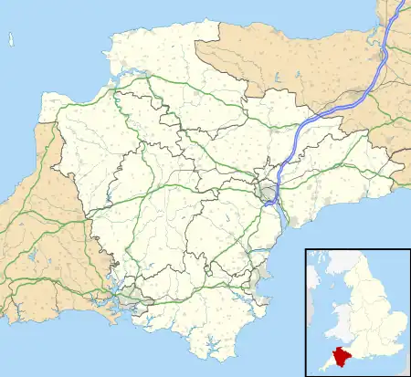
Beacon | |
|---|---|
Cottages at Beacon | |
 Beacon | |
| Coordinates: 50°50′23.42″N 3°9′58.44″W / 50.8398389°N 3.1662333°W | |
| Sovereign state | United Kingdom |
| Country | England |
| County | Devon |
| Area | |
| • Total | 0.04 sq mi (0.1 km2) |
| Elevation | 636 ft (194 m) |
Beacon is a hamlet near Honiton in the English county of Devon, below the most southerly point of Hartridge Hill in Luppitt parish.[1][2]
References
- ↑ Ordnance Survey: Landranger map sheet 192 Exeter & Sidmouth (Exmouth & Teignmouth) (Map). Ordnance Survey. 2013. ISBN 978-0-319-23139-5.
- ↑ "Ordnance Survey: 1:50,000 Scale Gazetteer" (csv (download)). www.ordnancesurvey.co.uk. Ordnance Survey. 1 January 2016. Retrieved 30 January 2016.
This article is issued from Wikipedia. The text is licensed under Creative Commons - Attribution - Sharealike. Additional terms may apply for the media files.
