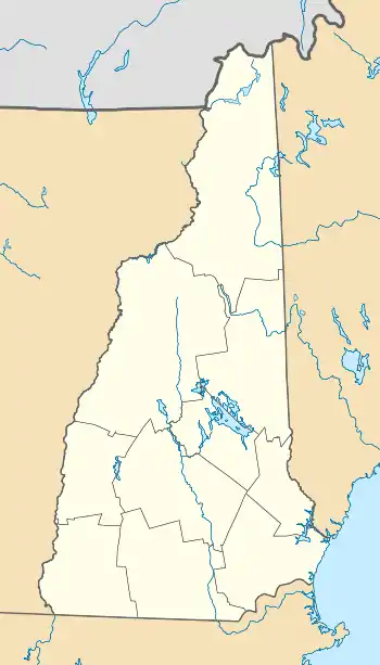
Beatties, New Hampshire | |
|---|---|
 Beatties Location of Beatties, New Hampshire  Beatties Beatties (the United States) | |
| Coordinates: 44°42′28″N 71°35′41″W / 44.70778°N 71.59472°W | |
| Country | United States |
| State | New Hampshire |
| County | Coos |
| Town | Stratford |
| Elevation | 988 ft (301 m) |
| Time zone | UTC-5 (Eastern) |
| • Summer (DST) | UTC-4 (Eastern) |
| GNIS feature ID | 871157[1] |
Beatties is a small unincorporated community in the town of Stratford in Coos County, New Hampshire, United States.[1] It is located 15 miles (24 km) north of Lancaster and 10 miles (16 km) south of Columbia along U.S. Route 3 near the Connecticut River at an elevation of 988 feet (301 m).[1]
References
This article is issued from Wikipedia. The text is licensed under Creative Commons - Attribution - Sharealike. Additional terms may apply for the media files.
