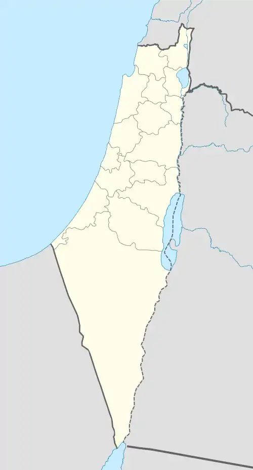
| Beersheba Subdistrict قضاء بئر السبع נפת באר שבע | |||||||||||
|---|---|---|---|---|---|---|---|---|---|---|---|
| Subdistrict of Mandatory Palestine | |||||||||||
| 1920–1948 | |||||||||||
 | |||||||||||
| Capital | Beersheba | ||||||||||
| Area | |||||||||||
• 1945 | 12,577 km2 (4,856 sq mi) | ||||||||||
| Population | |||||||||||
• 1922 | 75254[1] | ||||||||||
• 1931 | 51082[1] | ||||||||||
• 1945 | 90507 | ||||||||||
| History | |||||||||||
• Established | 1920 | ||||||||||
• Disestablished | 1948 | ||||||||||
| |||||||||||
| Today part of | |||||||||||
The Beersheba Subdistrict (Arabic: قضاء بئر السبع; Hebrew: נפת באר שבע) was one of the subdistricts of Mandatory Palestine. It was located in modern-day southern Israel. The city of Beersheba was the capital. After the 1948 Arab–Israeli War, the subdistrict largely transformed into the Beersheba Subdistrict of Israel.
The vast majority of the population, approximately 90%, consisted of nomadic Palestinian Bedouins.
Depopulated towns and villages

Official population statistics for the sub-district, from Village Statistics, 1945.
(current localities in parentheses)
- Auja al-Hafir (Nessana)
- Beersheba
- al-Imara (Ofakim, Urim)
- al-Jammama (Ruhama)
- al-Khalasa
- Umm al-Rashrash (Eilat)
- Khirbat Futais (Al-Qadirat clan of Al-Tiyaha tribe) (Ofakim)
References
- 1 2 "سكان قضاء بئر السبع - بلادنا فلسطين، صفحة 330". Palestine Remembered. Retrieved 13 May 2013.
This article is issued from Wikipedia. The text is licensed under Creative Commons - Attribution - Sharealike. Additional terms may apply for the media files.