| Beetaloo Valley South Australia | |||||||||||||||
|---|---|---|---|---|---|---|---|---|---|---|---|---|---|---|---|
 Beetaloo Valley | |||||||||||||||
| Coordinates | 33°12′S 138°13′E / 33.20°S 138.22°E | ||||||||||||||
| Population | 75 (SAL 2021)[1] | ||||||||||||||
| Postcode(s) | 5523 | ||||||||||||||
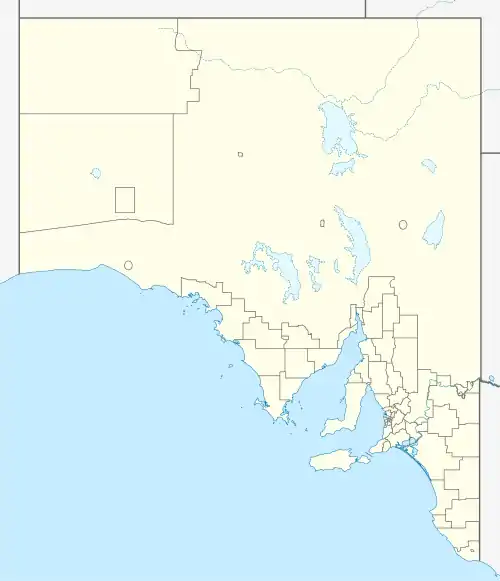
| Location |
| ||||||||||||||
| LGA(s) | Northern Areas Council | ||||||||||||||
| State electorate(s) | Stuart | ||||||||||||||
| Federal division(s) | Grey | ||||||||||||||
| |||||||||||||||
| Footnotes | [2] | ||||||||||||||
Beetaloo Valley is a locality in the Mid North region of South Australia in the southern Flinders Ranges. The Beetaloo Reservoir is in the centre of the locality.
References
- ↑ Australian Bureau of Statistics (28 June 2022). "Beetaloo Valley (suburb and locality)". Australian Census 2021 QuickStats. Retrieved 28 June 2022.
- ↑ "Placename Details: (LOCB)". Location SA Viewer. Government of South Australia.
This article is issued from Wikipedia. The text is licensed under Creative Commons - Attribution - Sharealike. Additional terms may apply for the media files.