| Beinn-y-Phott | |
|---|---|
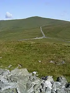
 seen from the top of Cairn Gerjoil looking across Windy Corner | |
| Highest point | |
| Elevation | 1,791 ft (546 m) |
| Prominence | 443 ft (135 m) |
| Coordinates | 54°14′39.3″N 4°29′9.9″W / 54.244250°N 4.486083°W |
| Naming | |
| English translation | point of the pot |
| Geography | |
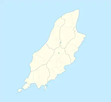
 Beinn-y-Phott Location of Beinn-y-Phott in the Isle of Man | |
| Location | Isle of Man |
| OS grid | SC381860 |
Beinn-y-Phott, (Manx: turf summit) (colloquial pronunciation 'penny pot' ['pɛni fot] / [ðə 'pɛni pɔt])[1] is a peak of 546 metres (1,791 feet) on the Isle of Man,[2] about 2 km SW of Snaefell.
It is at the southern end of the parish of Kirk Lezayre. It is skirted by the Mountain Course used for the TT races and is near Brandywell. It is covered by moorland and a detailed dating of its vegetation through the Holocene period has been made — mostly heathers, peat mosses and sedges.[3]
References
- ↑ Place Names of The Isle of Man – Da Ny Manninee Dooie Volume Two. Sheading of Ayre (Kirk Andreas, Kirk Bride and Kirk Christ Lezayre) page 451 Kirk Christ Lezayre by George Broderick – Turbingen ; Niemeyer NE:HST (1997) Manx Place - Name Survey, Max Niemeyer Verlag Tubingen ISBN 3-484-40131-1 (Gesamtwerk) 978-3-484-40131-0 (Band 2) Druck und Eiband: Weihert-Druck GmbH Darmstadt. “'turf summit' (Mx beinn y foaid) Applies to the rock outcrop at the summit of the hill. ct SC38NE SC38108600.... a similar resonance to Eng. 'penny pot' (a pot containing a penny-worth of ale)....”).
- ↑ Aileen Evans (2011), Isle of Man Coastal Path, p. 145, ISBN 1849654476
- ↑ Richard Chiverrell, Dr. Geoff Thomas (2006), Evolution of the Natural Landscape, p. 317, ISBN 0853235775
This article is issued from Wikipedia. The text is licensed under Creative Commons - Attribution - Sharealike. Additional terms may apply for the media files.