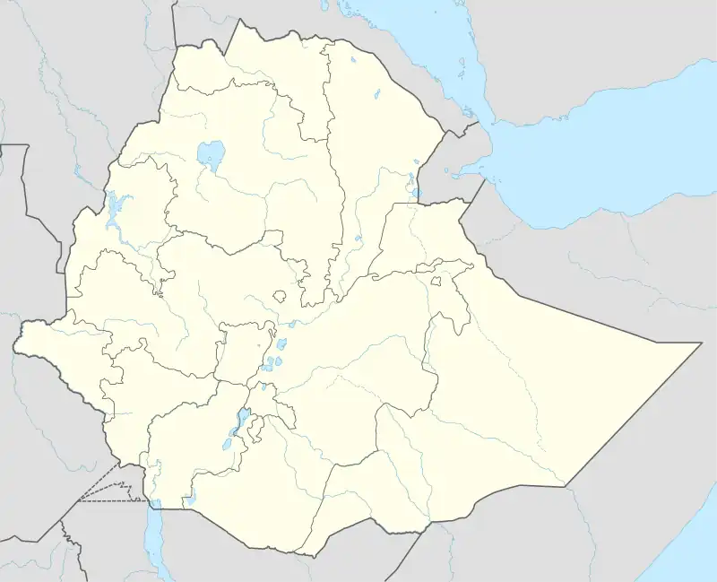
Beklo Segno
| |
|---|---|
Town | |
 Beklo Segno Location within Ethiopia | |
| Coordinates: 6°55′0″N 37°39′0″E / 6.91667°N 37.65000°E | |
| Country | |
| Region | |
| Zone | Wolaita |
| Woreda | Bayra Koysha |
| Area | |
| • Urban | 7.55 km2 (2.92 sq mi) |
| Elevation | 1,932 m (6,339 ft) |
| Time zone | UTC+3 (EAT) |
Beklo Segno (Geʽez: በቅሎ ሰኞ) is a town in Wolayita Zone, Southern Nations, Nationalities, and Peoples' Region, Ethiopia. The town is an administrative center of Bayra Koysha district of Wolayita Zone, Ethiopia. Beklo Segno is located about 327 km away from Addis Ababa to the south on and 18 km away from Sodo to the West, the capital of Wolaita Zone. The amenities in the town are, 24 hours electricity, pure public water, banks, schools, postal service, telecommunications services and others. Beklo Segno lies between 6°55'0" N and 37°39'0" E. The town is located at an elevation of 1,932 meters above sea level.[1]
Climate
In the months of January and February, temperature in the town of Beklo Segno is at around 29°c and average of 366.4615 hours of sunshine in a month.[2] Whereas July and August are the coldest months with temperature at around 15°c. April and May receive most rainfall with precipitation count of 218.97mm.[3]
| Climate data for Beklo Segno | |||||||||||||
|---|---|---|---|---|---|---|---|---|---|---|---|---|---|
| Month | Jan | Feb | Mar | Apr | May | Jun | Jul | Aug | Sep | Oct | Nov | Dec | Year |
| Mean daily maximum °C (°F) | 28 (82) |
28 (82) |
30 (86) |
26 (79) |
23 (73) |
22 (72) |
18 (64) |
21 (70) |
21 (70) |
23 (73) |
25 (77) |
27 (81) |
24 (76) |
| Daily mean °C (°F) | 23 (73) |
23 (73) |
25 (77) |
22 (72) |
20 (68) |
19 (66) |
16 (61) |
19 (66) |
19 (66) |
20 (68) |
21 (70) |
23 (73) |
21 (69) |
| Mean daily minimum °C (°F) | 17 (63) |
17 (63) |
19 (66) |
17 (63) |
15 (59) |
15 (59) |
12 (54) |
15 (59) |
16 (61) |
16 (61) |
16 (61) |
16 (61) |
16 (61) |
| Average precipitation mm (inches) | 19.48 (0.77) |
37.28 (1.47) |
108.60 (4.28) |
218.97 (8.62) |
189.23 (7.45) |
148.77 (5.86) |
174.74 (6.88) |
175.23 (6.90) |
189.11 (7.45) |
127.83 (5.03) |
63.96 (2.52) |
23.52 (0.93) |
1,476.72 (58.16) |
| Source: worldweatheronline.com | |||||||||||||
References
- ↑ "Beklo Segno (Beklosegno) Map, Weather and Photos - Ethiopia: populated place - Lat:6.91667 and Long:37.65". getamap.net. Retrieved 8 September 2021.
- ↑ "Weathor data of Beklo segno". www.weatherapi.com.
- ↑ "weather and climate of Beklo Segno". www.worldweatheronline.com.