Bell Arthur, North Carolina | |
|---|---|
 Bell Arthur, North Carolina  Bell Arthur, North Carolina | |
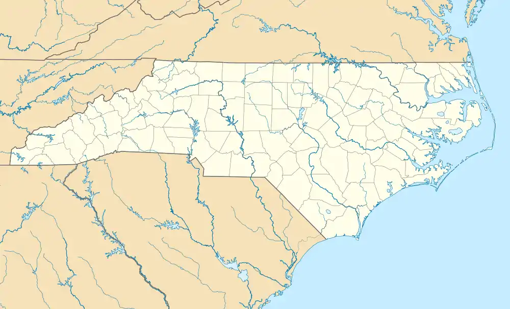
| Coordinates: 35°35′28″N 77°30′46″W / 35.59111°N 77.51278°W | |
| Country | United States |
| State | North Carolina |
| County | Pitt |
| Area | |
| • Total | 1.86 sq mi (4.82 km2) |
| • Land | 1.86 sq mi (4.82 km2) |
| • Water | 0.00 sq mi (0.00 km2) |
| Elevation | 79 ft (24 m) |
| Population (2020) | |
| • Total | 477 |
| • Density | 256.18/sq mi (98.91/km2) |
| Time zone | UTC-5 (Eastern (EST)) |
| • Summer (DST) | UTC-4 (EDT) |
| ZIP code | 27811 |
| Area code | 252 |
| GNIS feature ID | 2584308[2] |
Bell Arthur (also known as Bellarthur) is an unincorporated community and census-designated place (CDP) in Pitt County, North Carolina, United States.[2] Its population was 466 as of the 2010 census. Bell Arthur has a post office with ZIP code 27811.[3][4]
Demographics
| Census | Pop. | Note | %± |
|---|---|---|---|
| 2020 | 477 | — | |
| U.S. Decennial Census[5] | |||
References
- ↑ "ArcGIS REST Services Directory". United States Census Bureau. Retrieved September 20, 2022.
- 1 2 3 U.S. Geological Survey Geographic Names Information System: Bell Arthur, North Carolina
- ↑ United States Postal Service (2012). "USPS - Look Up a ZIP Code". Retrieved February 15, 2012.
- ↑ "Postmaster Finder - Post Offices by ZIP Code". United States Postal Service. Archived from the original on October 17, 2020. Retrieved March 6, 2014.
- ↑ "Census of Population and Housing". Census.gov. Retrieved June 4, 2016.
Municipalities and communities of Pitt County, North Carolina, United States | ||
|---|---|---|
| City |  | |
| Towns | ||
| Townships |
| |
| CDPs | ||
| Unincorporated communities | ||
| Footnotes | ‡This populated place also has portions in an adjacent county or counties | |
This article is issued from Wikipedia. The text is licensed under Creative Commons - Attribution - Sharealike. Additional terms may apply for the media files.