| Bell Mountain | |
|---|---|
 Bell Mountain | |
| Highest point | |
| Elevation | 1,848 ft (563 m) NGVD 29[1] |
| Prominence | 363 ft (111 m)[1] |
| Coordinates | 33°39′32″N 117°09′07″W / 33.659000392°N 117.151845797°W[2] |
| Geography | |
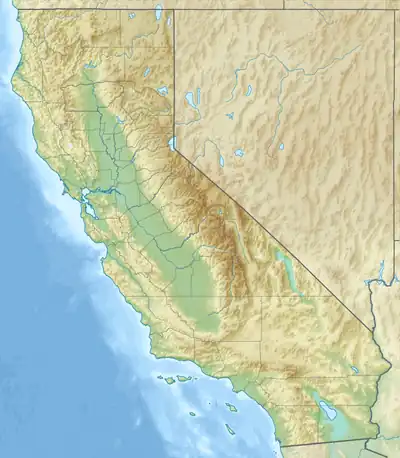
| Location | Riverside County, California, U.S. |
| Topo map | USGS Romoland |
Bell Mountain is a mountain in the Paloma Valley near Menifee in Riverside County, California.[3]
References
- 1 2 "Bell Mountain, California". Peakbagger.com. Retrieved 2014-12-06.
- ↑ "Bell". NGS Data Sheet. National Geodetic Survey, National Oceanic and Atmospheric Administration, United States Department of Commerce. Retrieved 2014-12-06.
- ↑ "Bell Mountain". Geographic Names Information System. United States Geological Survey, United States Department of the Interior.
This article is issued from Wikipedia. The text is licensed under Creative Commons - Attribution - Sharealike. Additional terms may apply for the media files.