| Ben Lilly Conservation Area | |
|---|---|
IUCN category V (protected landscape/seascape) | |
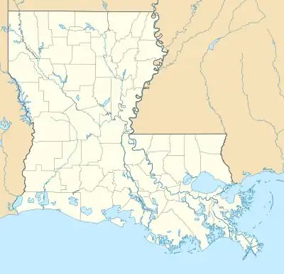
 Location within Louisiana | |
| Location | Morehouse Parish |
| Coordinates | 32°53′49″N 91°50′16″W / 32.89694°N 91.83778°W |
| Area | 247 acres (100 ha) |
| Established | 2013 |
| Governing body | Louisiana Department of Wildlife and Fisheries |
Ben Lilly Conservation Area is a 247-acre tract of protected area located in Morehouse Parish, Louisiana, USA. The Louisiana Department of Wildlife and Fisheries (LDWF) became the new owner in 2013.
Name
The conservation area received its name from notorious big game hunter Ben Lilly, who was a guide for Teddy Roosevelt, when he hunted bear in the Tensas River swamp in 1907.[1]
Description
The 247-acre conservation area is bordered by the 503-acre Chemin-A-Haut State Park to the north[2] and Bayou Bartholomew makes a horseshoe boundary around the east, south and west sides. The conservation area is accessible through the state park from US 425, north of Bastrop, Louisiana, or by boat and a boat ramp is planned.[3]
Shared name
The conservation area shares the name with the Ben Lilly campground located in the Gila National Forest.[4]
References
- ↑ Ernest Herndon (2003). Canoeing Louisiana. Jackson: University Press of Mississippi. p. 71. ISBN 1578064260. Retrieved 28 August 2021 – via Google Books.
- ↑ "Ben Lilly Conservation Area map" (PDF). Archived from the original (PDF) on 15 February 2017. Retrieved 20 February 2017.
- ↑ Bastrop Enterprise: Ben Lily Conservation Area. Retrieved 21 February 2017.
- ↑ Ben Lilly Campground, Free campsites. Retrieved 21 February 2017.