| Bennett End | |
|---|---|
.jpg.webp) The Three Horseshoes, Bennet End, 2013 | |
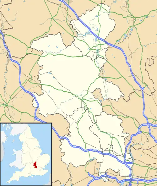 Bennett End Location within Buckinghamshire | |
| OS grid reference | SU782971 |
| Unitary authority | |
| Ceremonial county | |
| Region | |
| Country | England |
| Sovereign state | United Kingdom |
| Post town | high wycombe |
| Postcode district | HP14 |
| Dialling code | 01494 |
| Police | Thames Valley |
| Fire | Buckinghamshire |
| Ambulance | South Central |
Bennett End is a hamlet near Radnage and Bledlow Ridge in Buckinghamshire, England.[1][2] At the 2011 Census the population of the hamlet was included in the civil parish of Lane End.
References
- ↑ Ordnance Survey: Landranger map sheet 165 Aylesbury & Leighton Buzzard (Thame & Berkhamsted) (Map). Ordnance Survey. 2012. ISBN 9780319229163.
- ↑ "Ordnance Survey: 1:50,000 Scale Gazetteer" (csv (download)). www.ordnancesurvey.co.uk. Ordnance Survey. 1 January 2016. Retrieved 30 January 2016.
| Towns (component areas and hamlets) | 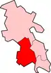 | |
|---|---|---|
| Other civil parishes (component villages and hamlets) |
| |
| Former districts and boroughs | ||
| Former constituencies | ||
This article is issued from Wikipedia. The text is licensed under Creative Commons - Attribution - Sharealike. Additional terms may apply for the media files.