Berg aan de Maas | |
|---|---|
Village | |
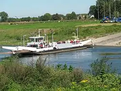 Ferry between Meeswijk and Berg | |
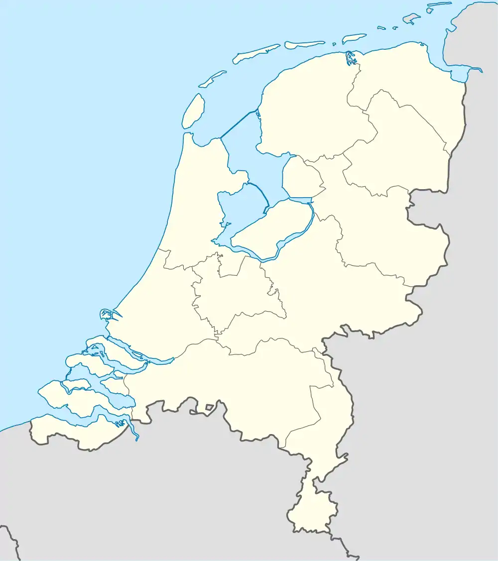 Berg aan de Maas Location in the Netherlands 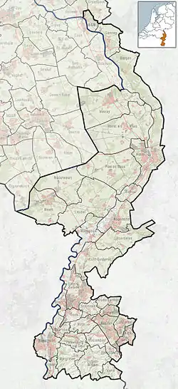 Berg aan de Maas Location in the province of Limburg in the Netherlands | |
| Coordinates: 51°0′17″N 5°46′17″E / 51.00472°N 5.77139°E | |
| Country | Netherlands |
| Province | Limburg |
| Municipality | Stein |
| Area | |
| • Total | 1.01 km2 (0.39 sq mi) |
| Elevation | 46 m (151 ft) |
| Population (2021)[1] | |
| • Total | 1,940 |
| • Density | 1,900/km2 (5,000/sq mi) |
| Time zone | UTC+1 (CET) |
| • Summer (DST) | UTC+2 (CEST) |
| Postal code | 6129[1] |
| Dialing code | 046 |
Berg, often called Berg aan de Maas, is a village in the Dutch province of Limburg. It is a part of the municipality of Stein, and lies about 6 km northwest of Geleen.
The village was first mentioned in 1294-1295 as "apud Berge", and means "hill on the Maas".[3] Berg aan de Maas was home to 468 people in 1840.[4]
Berg is situated on the right bank of the river Meuse, Maas in Dutch. The opposite, left bank of the Meuse is Belgian territory, municipality Dilsen-Stokkem. There is a ferry between Berg and Dilsen-Stokkem.
Gallery
.JPG.webp) Farm in Berg aan de Maas
Farm in Berg aan de Maas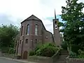 St Michael Church
References
- 1 2 3 "Kerncijfers wijken en buurten 2021". Central Bureau of Statistics. Retrieved 26 April 2022.
- ↑ "Postcodetool for 6129AA". Actueel Hoogtebestand Nederland (in Dutch). Het Waterschapshuis. Retrieved 26 April 2022.
- ↑ "Berg aan de Maas - (geografische naam)". Etymologiebank (in Dutch). Retrieved 26 April 2022.
- ↑ "Berg aan de Maas". Plaatsengids (in Dutch). Retrieved 26 April 2022.
Wikimedia Commons has media related to Berg aan de Maas.
This article is issued from Wikipedia. The text is licensed under Creative Commons - Attribution - Sharealike. Additional terms may apply for the media files.