Betoambari Airport Bandar Udara Betoambari | |||||||||||
|---|---|---|---|---|---|---|---|---|---|---|---|
| Summary | |||||||||||
| Airport type | Public | ||||||||||
| Operator | Government | ||||||||||
| Serves | Baubau | ||||||||||
| Location | Baubau, Southeast Sulawesi, Sulawesi, Indonesia | ||||||||||
| Time zone | WITA (UTC+08:00) | ||||||||||
| Elevation AMSL | 32 m / 104.99 ft | ||||||||||
| Coordinates | 05°31′00″S 122°33′00″E / 5.51667°S 122.55000°E | ||||||||||
| Map | |||||||||||
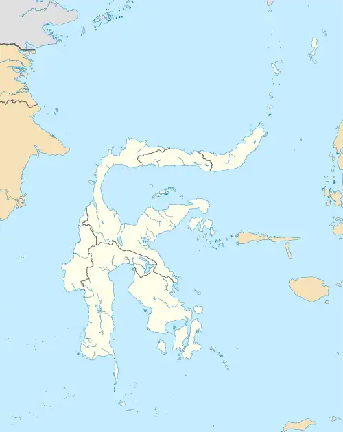 BUW Location of the airport in Sulawesi | |||||||||||
| Runways | |||||||||||
| |||||||||||
Betoambari Airport (Indonesian: Bandara Betoambari) (IATA: BUW, ICAO: WAWB) is an airport near Baubau, a city in the province of Southeast Sulawesi, Indonesia.
Facilities
The airport resides at an elevation of 32 metres (105 ft) above mean sea level. It has one runway designated 04/22 with an asphalt surface measuring 1,800 by 30 metres (5,906 ft × 98 ft).
Airlines and destinations
| Airlines | Destinations |
|---|---|
| Wings Air | Kendari, Makassar |
References
- ↑ "Direktorat Jenderal Perhubungan Udara". hubud.dephub.go.id. Archived from the original on 2020-07-20. Retrieved 2020-06-04.
This article is issued from Wikipedia. The text is licensed under Creative Commons - Attribution - Sharealike. Additional terms may apply for the media files.