Bhatambra | |
|---|---|
village | |
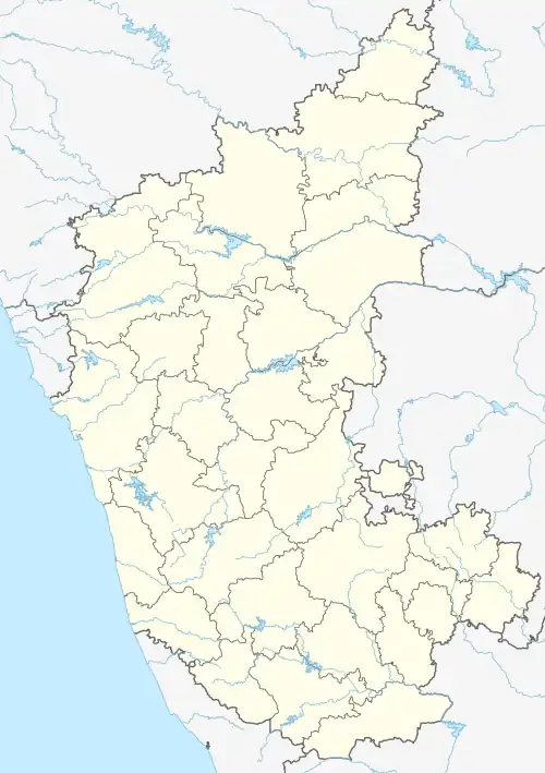 Bhatambra Location in Karnataka, India  Bhatambra Bhatambra (India) | |
| Coordinates: 18°02′N 77°13′E / 18.03°N 77.22°E | |
| Country | |
| State | Karnataka |
| District | Bidar |
| Taluk | Bhalki |
| Lok Sabha Constituency | Bidar |
| Nearest city | Bhalki |
| Government | |
| • Type | Gram |
| • Body | Panchayat of Bhatambra |
| Area | |
| • Total | 28.42 km2 (10.97 sq mi) |
| • Rank | 3rd :Bhalki |
| Elevation | 607 m (1,991 ft) |
| Population (2020) | |
| • Total | 8,942 |
| • Density | 363/km2 (940/sq mi) |
| Demonym | Bhatambrakar |
| Languages | |
| • Official | Kannada |
| Time zone | UTC+5:30 (IST) |
| PIN CODE | 585411 |
| Vehicle registration | KA 38 |
Bhatambra is a village in the southern state of Karnataka, India.[1][2] It is located in the Bhalki taluk of Bidar district in Karnataka.
Bhatambra Fort
Bhatambra is famous for the 12th century fort located in the village. The fort is now also in bad conditions
Demographics
As of 2001 India census, Bhatambra had a population of 7523 with 3867 males and 3656 females.[1]
Transport
Bhatambra is 6 km from Taluka headquarter Bhalki. It is well connected by road to Bhalki. Nearest major railway station is in Bhalki.
See also
References
- 1 2 Village code= 416700 "Census of India : Villages with population 5000 & above". Registrar General & Census Commissioner, India. Archived from the original on 8 December 2008. Retrieved 18 December 2008.
- ↑ "Yahoomaps India". Archived from the original on 18 December 2008. Retrieved 18 December 2008. Bhatambra, Bidar, Karnataka
External links
District HQ: Bidar | |
| Villages and towns |
|
This article is issued from Wikipedia. The text is licensed under Creative Commons - Attribution - Sharealike. Additional terms may apply for the media files.