Bhunya Airfield | |||||||||||
|---|---|---|---|---|---|---|---|---|---|---|---|
| Summary | |||||||||||
| Serves | Bhunya, Eswatini | ||||||||||
| Elevation AMSL | 4,910 ft / 1,497 m | ||||||||||
| Coordinates | 26°35′00″S 30°56′35″E / 26.58333°S 30.94306°E | ||||||||||
| Map | |||||||||||
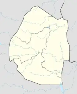
 Bhunya Location of the airport in Eswatini | |||||||||||
| Runways | |||||||||||
| |||||||||||
Bhunya Airfield is a rural airstrip serving Bhunya, a forest products community in the Manzini Region of Eswatini. It is 8 kilometres (5 mi) southwest of the town.
The Matsapha VOR-DME (Ident: VMS) is located 20.9 nautical miles (38.7 km) east of the airstrip.[3]
The Google Earth Historical Imagery (6/2/2018) image shows the runway and airstrip boundary have been planted with trees.
See also
References
- ↑ Google Maps - Bhunya
- ↑ "Bhunya Airport". Falling Rain. Retrieved 24 October 2018.
- ↑ "Matsapha VOR". Our Airports. Retrieved 24 October 2018.
External links
- OpenStreetMap - Bhunya Airfield
- Google Earth (6/2/2018)
- Bloomberg - Usutu Forest Products Co
This article is issued from Wikipedia. The text is licensed under Creative Commons - Attribution - Sharealike. Additional terms may apply for the media files.