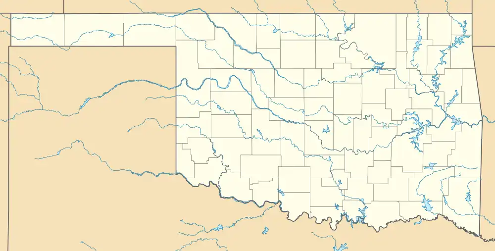
Big Cedar is an unincorporated community in Le Flore County, Oklahoma, United States.[1]
History
A post office opened at Bigcedar, Indian Territory on April 3, 1903. It was discontinued on October 15, 1943. On December 1, 1929 the official spelling of the post office name was changed to Big Cedar.[2]
At the time of its founding, Big Cedar was located in Wade County, a part of the Apukshunnubbee District of the Choctaw Nation.[3]
Big Cedar is at the intersection of U.S. Route 259 and State Highway 63.[4] President John F. Kennedy visited Big Cedar on October 29, 1961, to dedicate the opening of US-259, then called the Ouachita National Forest Road.[5] A copy of his remarks, along with other materials pertaining to this visit, are available for viewing at the John F. Kennedy Presidential Library and Museum.[6] A John F. Kennedy Memorial, dedicated in 1966, is at the intersection of US-259 with SH-63 in Big Cedar.[7] Intercity bus service is available from Jefferson Lines in Mena, Arkansas, about 26 miles east.[8][9]
Big Cedar is on the Ouachita National Recreation Trail, sometimes simply called the Ouachita Trail. The Big Cedar Trailhead is at mile 30.5 of Segment 02 of the Trail.[10][11]
References
- ↑ U.S. Geological Survey Geographic Names Information System: Big Cedar, Oklahoma
- ↑ Shirk, George H. Oklahoma Place Names (Norman: University of Oklahoma, 1965), p. 22.
- ↑ Morris, John W. Historical Atlas of Oklahoma (Norman: University of Oklahoma, 1986), plate 38.
- ↑ "Big Cedar, Oklahoma". Google Maps. Retrieved July 9, 2020.
- ↑ "Dedication of Ouachita National Forest Highway (US-259) by President John F. Kennedy". OHPTrooper.com. Retrieved July 9, 2020.
- ↑ "Remarks at Ouachita National Forest Road opening, Big Cedar, Oklahoma, 29 October 1961." Accessed September 24, 2018.
- ↑ "John F. Kennedy Memorial". Exploring Oklahoma History. Retrieved July 9, 2020.
- ↑ "Arkansas Bus Stops". Jefferson Lines. Retrieved January 10, 2021.
- ↑ "Big Cedar, Oklahoma to Mena, Arkansas". Google Maps. Retrieved January 10, 2021.
- ↑ "Ouachita Trail 02: Hwy 259 (Big Cedar Trailhead) to Pashubbe Trailhead (30.5 to 34.3)". Mike Newman, Arklahoma Hiker, April 3, 2011. Retrieved July 6, 2020.
- ↑ "Ouachita National Recreation Trail, U.S. Forest Service, December 2006" (PDF). Retrieved July 6, 2020.
34°38′45″N 94°38′56″W / 34.64583°N 94.64889°W
