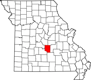
Big Piney is an unincorporated community in Pulaski County, Missouri, United States[1] on the southeastern edge of Fort Leonard Wood and one mile west of a bend in the Big Piney River.[2] The community is on Missouri Route TT four miles northeast of Palace. Licking is seventeen miles to the southeast.[3] Its former K-8 school has closed; students attend the Plato R-V School District.[4]
History
A post office called Big Piney was established in 1881, and remained in operation until 1972.[5] The community takes its name from the Big Piney River.[6]
During the Civil War, companies of the 5th Missouri State Militia garrisoned in Big Piney.[7]
References
- ↑ U.S. Geological Survey Geographic Names Information System: Big Piney
- ↑ Big Piney, MO, 7.5 Minute Topographic Quadrangle, USGS, 1954 (1991 rev.)
- ↑ Missouri Atlas & Gazetteer, DeLorme, 1998, First edition, p. 54, ISBN 0-89933-224-2
- ↑ "Home of the Eagles". www.plato.k12.mo.us.
- ↑ "Post Offices". Jim Forte Postal History. Retrieved December 10, 2016.
- ↑ "Pulaski County Place Names, 1928–1945". The State Historical Society of Missouri. Archived from the original on June 24, 2016. Retrieved November 27, 2016.
- ↑ Hewett, J. (1994). Supplement to the Official records of the Union and Confederate Armies. Wilmington, NC: Broadfoot Pub. Co. , Volume 35, p. 136
This article is issued from Wikipedia. The text is licensed under Creative Commons - Attribution - Sharealike. Additional terms may apply for the media files.
