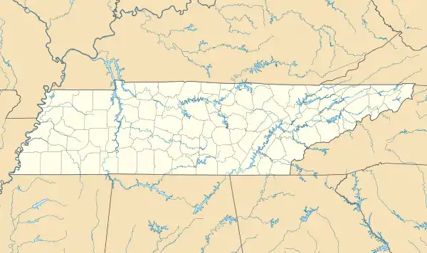
Big South Fork Airpark | |
|---|---|
 Big South Fork Airpark Location in Tennessee | |
| Coordinates: 36°26′57″N 84°35′45″W / 36.44917°N 84.59583°W[1] | |
| Country | United States |
| State | Tennessee |
| County | Scott County |
| Municipality | Oneida |
| Area | |
| • Total | 0.703 sq mi (1.821 km2) |
| Elevation | 1,542 ft (470 m) |
| Time zone | UTC-5 (EST) |
| • Summer (DST) | UTC-4 (EDT) |
| ZIP code | 37841 |
| Website | www |
The Big South Fork Airpark is located 50 miles north of Knoxville, Tennessee, and includes a 5,500-foot long asphalt runway with three instrument approaches. The airpark grounds include homesteads with taxiway access, personal hangars, and a maintenance facility.
Airpark
Big South Fork Airpark is served by the adjacent Scott Municipal Airport. It is owned by Bill Armstrong.
Wings Over Big South Fork Air Show
The airpark participates in the Wings Over Big South Fork air show every September. Attractions include aerial shows and a display of airplanes from eras ranging from World War I to modern fighter jets.[2]
References
- ↑ "Google Maps coordinates for 1 Airpark Way, Oneida, TN 37841". GPS Visualizer. Retrieved May 12, 2014.
- ↑ Wings Over Big South Fork Official website
External links
This article is issued from Wikipedia. The text is licensed under Creative Commons - Attribution - Sharealike. Additional terms may apply for the media files.