| Bilborough | |
|---|---|
 St Martin of Tours, Bilborough | |
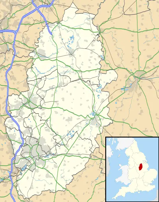
 Bilborough Location within Nottinghamshire | |
| Population | 16,792 (ward. 2011) |
| OS grid reference | SK 51845 41162 |
| District | |
| Shire county | |
| Region | |
| Country | England |
| Sovereign state | United Kingdom |
| Post town | NOTTINGHAM |
| Postcode district | NG8 |
| Dialling code | 0115 |
| Police | Nottinghamshire |
| Fire | Nottinghamshire |
| Ambulance | East Midlands |
| UK Parliament | |
Bilborough is a suburb of the city of Nottingham, in the Nottingham district, in the ceremonial county of Nottinghamshire, England. The population of the City of Nottingham ward at the 2011 census was 16,792.[1]
St Martin of Tours' Church, Bilborough is a Grade II listed building.[2] In the chancel is an Annunciation by Evelyn Gibbs, painted in 1946 and rediscovered in 2009 and restored.[3] Located just off the A6002 road is Bilborough College.
Civil parish
In 1931 the parish had a population of 2845.[4] On 1 April 1933 the parish was abolished and merged with Nottingham.[5]
Education

Bilborough is home to the following schools and colleges:
- Nottingham University Samworth Academy (NUSA), and also is home to Portland, Melbury, Highwood which are all feeders to (NUSA)
- Bilborough College
- Oak Field School
- Bluecoat Beechdale Academy
- Westbury School primary and secondary
- Bluecoat Primary Academy
Sports
Harvey Hadden Stadium is a well known local sport facility with outdoor running track and athletics facilities. The stadium originally had a velodrome.
Bus services
■ 28: Nottingham → Ilkeston Road → Jubilee Campus → Beechdale → Bilborough[6]
■ 35: Nottingham → Derby Road → QMC → University Park → Wollaton Vale → Bilborough → Strelley → Bulwell[7]
■ 35B: Nottingham → Derby Road → QMC → University Park → Wollaton Vale → Bilborough → Strelley[8]
■ N28: Nottingham → Jubilee Campus → Beechdale → Bilborough → Wollaton Vale → Wollaton → Ilkeston Road → Nottingham[9]
■ L3: Nottingham → Derby Road → QMC → Beechdale → Bilborough → Strelley[10]
■ L11: Beeston → Wollaton Vale → Bilborough → Aspley Lane → Basford → Bulwell → Top Valley → Bestwood Park → Arnold[11]
■ Collegelink: Nottingham → Bilborough (Bilborough College)[12]
See also
References
- ↑ "City of Nottingham ward population 2011". Neighbourhood Statistics. Office for National Statistics. Retrieved 18 April 2016.
- ↑ Historic England. "Church of St Martin (Grade II*) (1255110)". National Heritage List for England.
- ↑ Ashworth, Pat (12 August 2016). "An artist for Church and people". Church Times. Retrieved 24 February 2022.
- ↑ "Population statistics Bilborough AP/CP through time". A Vision of Britain through Time. Retrieved 29 April 2023.
- ↑ "Relationships and changes Bilborough AP/CP through time". A Vision of Britain through Time. Retrieved 29 April 2023.
- ↑ wearebase.com, Base. "Service 28 on Pink Line". nctx.co.uk. Archived from the original on 15 October 2017. Retrieved 14 October 2017.
- ↑ wearebase.com, Base. "Service 35 on Orange Line". nctx.co.uk. Archived from the original on 15 March 2018. Retrieved 14 October 2017.
- ↑ wearebase.com, Base. "Service 35B on Orange Line". nctx.co.uk. Archived from the original on 15 October 2017. Retrieved 14 October 2017.
- ↑ wearebase.com, Base. "Service N28 on Pink Line". nctx.co.uk.
- ↑ wearebase.com, Base. "Locallink service L3 ran by Nottingham Community Transport" (PDF). ct4n.co.uk.
- ↑ wearebase.com, Base. "Locallink service L3 ran by Nottingham Community Transport" (PDF). ct4n.co.uk.
- ↑ wearebase.com, Base. "Collegelink ran by Bilborough College" (PDF). bilborough.ac.uk.