| Binalong Bay Tasmania | |||||||||||||||
|---|---|---|---|---|---|---|---|---|---|---|---|---|---|---|---|
 Binalong Bay Beach | |||||||||||||||
 Binalong Bay | |||||||||||||||
| Coordinates | 41°15′S 148°18′E / 41.250°S 148.300°E | ||||||||||||||
| Population | 290 (2016 census)[1] | ||||||||||||||
| Postcode(s) | 7216 | ||||||||||||||
| Location | 12 km (7 mi) NE of St Helens | ||||||||||||||
| LGA(s) | Break O'Day Council | ||||||||||||||
| Region | North-east | ||||||||||||||
| State electorate(s) | Lyons | ||||||||||||||
| Federal division(s) | Lyons | ||||||||||||||
| |||||||||||||||
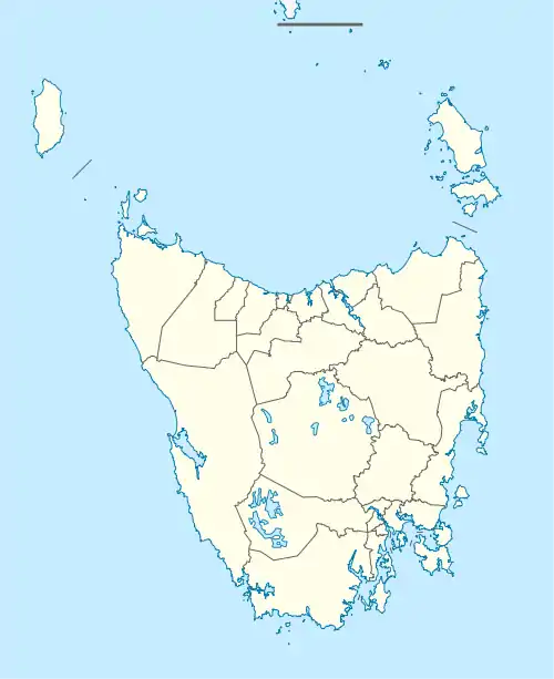
Binalong Bay is a rural locality in the local government area (LGA) of Break O'Day in the North-east LGA region of Tasmania. The locality is about 12 kilometres (7.5 mi) north-east of the town of St Helens. The 2016 census recorded a population of 290 for the state suburb of Binalong Bay.[1]
It is a small coastal town in north-east Tasmania, situated at the southern end of the Bay of Fires. Originally a fishing hamlet, the town is now a village with a large proportion of holiday dwellings. It has a beach, small harbour (known as the gulch) and a cafe.
History
Binalong Bay was gazetted as a locality in 1964.[2] Originally known as Boat Harbour, the current name was adopted in 1944. It is believed to be the Aboriginal name.[3]
Binalong Bay Post Office opened on 30 March 1966 and closed in 1973.[4]
Geography
The waters of the Bay of Fires, part of the Tasman Sea, form part of the eastern boundary. The Tasman Sea and the waters of Georges Bay complete the eastern boundary and form part of the southern. Grants Lagoon, an inlet of Binalong Bay (the body of water) is surrounded by the locality.[5]
Road infrastructure
Route C850 (Binalong Bay Road) enters from the south-west and runs through to the east, where it ends. Route C848 (Gardens Road) starts at an intersection with C850 and runs north until it exits. Route C849 (Reids Road) starts at an intersection with C848 and runs west until it exits.[2][6]
Gallery
 Binalong Bay Beach
 Beach and rocks
References
- 1 2 "2016 Census Quick Stats Binalong Bay (Tas.)". quickstats.censusdata.abs.gov.au. Australian Bureau of Statistics. 23 October 2017. Retrieved 13 September 2020.
- 1 2 "Placenames Tasmania – Binalong Bay". Placenames Tasmania. Select “Search”, enter "1508B", click “Search”, select row, map is displayed, click “Details”. Retrieved 13 September 2020.
- ↑ "Where in Tasmania? A-K Page 16" (PDF). Dennison Publications. July 2003. Retrieved 14 December 2020.
- ↑ Phoenix Auctions History. "Post Office List". Phoenix Auctions. Retrieved 21 March 2021.
- ↑ Google (13 September 2020). "Binalong Bay, Tasmania" (Map). Google Maps. Google. Retrieved 13 September 2020.
- ↑ "Tasmanian Road Route Codes" (PDF). Department of Primary Industries, Parks, Water & Environment. May 2017. Archived from the original (PDF) on 1 August 2017. Retrieved 13 September 2020.