| Birch Creek Peak | |
|---|---|
 Birch Creek Peak  Birch Creek Peak Birch Creek Peak (the United States) | |
| Highest point | |
| Elevation | 10,738 feet (3,273 m)[1] |
| Coordinates | 38°13′08″N 112°27′16″W / 38.2189403°N 112.4543245°W[1] |
| Geography | |
| Location | Beaver County, Utah, United States |
| Parent range | Tushar Mountains |
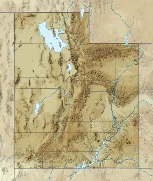
Birch Creek Mountain is a 10,738 feet (3,273 m) tall peak in the Tushar Mountains, located in Beaver County, Utah.[1] By elevation Birch Creek Mountain is # 9 out of 94 in Beaver County, # 42 out of 201 in Fishlake National Forest, and # 18 out of 49 in the Tushar Mountains.[2]
Etymology
Birch Creek Mountain is named for Birch Creek which originates on the western slope of the mountain and flows northwest to South Creek, under Interstate 15 south of the town of Beaver, and thence to the Beaver River and ultimately Sevier River and Lake.
References
- 1 2 3 "Birch Creek Mountain". Geographic Names Information System. United States Geological Survey, United States Department of the Interior.
- ↑ "Birch Creek Mountain". Peakvisor.org. Retrieved April 9, 2021.
This article is issued from Wikipedia. The text is licensed under Creative Commons - Attribution - Sharealike. Additional terms may apply for the media files.