Birch Hills | |
|---|---|
Town | |
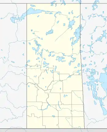 Birch Hills Location of Birch Hills 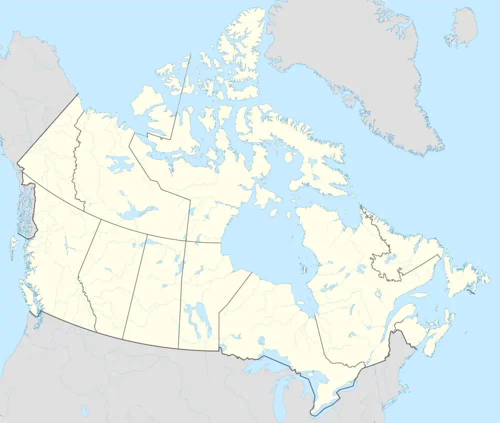 Birch Hills Birch Hills (Canada) | |
| Coordinates: 52°59′00″N 105°26′00″W / 52.983333°N 105.433333°W | |
| Country | Canada |
| Province | Saskatchewan |
| Census division | 15 |
| Rural Municipality | Birch Hills |
| Post office established | 1895 |
| Incorporated (Village) | 1907 |
| Incorporated (Town) | 1960 |
| Government | |
| • Mayor | Stewart Adams |
| • Town Manager | Tara Gariepy |
| • Governing body | Town council |
| Area | |
| • Total | 2.27 km2 (0.88 sq mi) |
| Population (2011) | |
| • Total | 1,064 |
| • Density | 468.4/km2 (1,213/sq mi) |
| Time zone | CST |
| Postal code | S0J 0G0 |
| Area code | 306 |
| Highways | Highway 3 |
| Website | Official website |
| [1][2][3][4] | |
Birch Hills is a town located in Saskatchewan, Canada. It is located southeast of Prince Albert and the reserve of Muskoday First Nation. Directly to the west is the village of St. Louis, and to the east is Kinistino. It is surrounded by, but not part of, Birch Hills Rural Municipality No. 460.
The community takes its name from hills in the area, which were once heavily treed with birches that were used in manufacturing birch bark canoes during the fur trade era of the 18th century. The countryside around Birch Hills is part of the aspen parkland biome.
History
Situated in an area settled primarily by Norwegian, British and Anglo-Metis peoples, Birch Hills became a village in 1907 and reached town status in 1960. Unlike many other agriculturally based towns, it continues to grow due to its position as a satellite community of Prince Albert.
Demographics
In the 2021 Census of Population conducted by Statistics Canada, Birch Hills had a population of 1,066 living in 450 of its 475 total private dwellings, a change of 3.2% from its 2016 population of 1,033. With a land area of 2.39 km2 (0.92 sq mi), it had a population density of 446.0/km2 (1,155.2/sq mi) in 2021.[5]
| 2021 | 2011 | |
|---|---|---|
| Population | 1,066 (+3.2% from 2016) | 1,064 (+13.8% from 2006) |
| Land area | 2.39 km2 (0.92 sq mi) | 2.27 km2 (0.88 sq mi) |
| Population density | 446.6/km2 (1,157/sq mi) | 468.4/km2 (1,213/sq mi) |
| Median age | 41.6 (M: 38.4, F: 44.0) | 42.1 (M: 40.2, F: 43.9) |
| Private dwellings | 475 (total) 450 (occupied) | 440 (total) |
| Median household income | $78,500 |
Notable people
- Earl Thomson won a gold medal for Canada at the 1920 Olympics in the 110 metres hurdles.
- Marshall Johnston was an NHL player, scout, coach, and general manager. He is currently the Director of Professional Scouting for the Carolina Hurricanes.
- John Richard Parish Taylor, politician
See also
- Birch Hills Airport – Municipal airport
- Jumping Lake, Saskatchewan – a lake a short distance south of Birch Hills
References
- ↑ "2011 Community Profiles". Statistics Canada. Government of Canada. Archived from the original on 2018-12-26. Retrieved 2014-04-09.
- ↑ National Archives, Archivia Net. "Post Offices and Postmasters". Archived from the original on 2006-10-06. Retrieved 2014-07-15.
- ↑ Government of Saskatchewan, MRD Home. "Municipal Directory System". Archived from the original on 2016-01-15. Retrieved 2014-07-15.
- ↑ Commissioner of Canada Elections, Chief Electoral Officer of Canada (2005). "Elections Canada On-line". Archived from the original on 2007-04-21. Retrieved 2014-07-15.
- ↑ "Population and dwelling counts: Canada, provinces and territories, census divisions and census subdivisions (municipalities), Saskatchewan". Statistics Canada. February 9, 2022. Retrieved April 1, 2022.
- ↑ "2021 Community Profiles". 2021 Canadian Census. Statistics Canada. February 4, 2022. Retrieved 2023-10-19.
- ↑ "2011 Community Profiles". 2011 Canadian Census. Statistics Canada. March 21, 2019. Retrieved 2014-07-17.
- ↑ "2006 Community Profiles". 2006 Canadian Census. Statistics Canada. August 20, 2019.
- ↑ "2001 Community Profiles". 2001 Canadian Census. Statistics Canada. July 18, 2021.
External links
| North: Muskoday First Nation | ||
| West: St. Louis | Birch Hills | East: Weldon |
| South: Jumping Lake |
52°59′N 105°26′W / 52.983°N 105.433°W